
Wisconsin State Map, Detailed map of Wisconsin
Wisconsin, is a state of the United States of America. Wisconsin is the 30th state of the USA constituted in 1848. Madison is the capital city of Wisconsin.
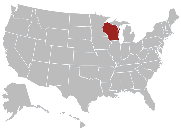
Where in the United States is Wisconsin? Location map of Wisconsin in the US.
General Map of Wisconsin, United States.
The detailed map shows the US state of Wisconsin with boundaries, the location of the state capital Madison, major cities and populated places, rivers and lakes, interstate highways, principal highways, and railroads.A map of the United States of America with the State of Wisconsin highlighted.
Wisconsin is divided into 72 counties.
Wisconsin - Quick Facts
| Country: | United States |
| Region Type: | State |
| Capital: | Madison |
| Abbreviation: | WI. US-WI |
| Joined The Union: | May 29, 1848 |
| Nickname: | Badger State |
| Official Website: | https://www.wisconsin.gov |
Wisconsin Area Codes
Area Codes in Wisconsin - Below are all the area codes in Wisconsin. Clicking on an area code will show the cities in that area code.
Wisconsin has area codes of 262, 414, 534, 608, 715, 920.
Counties, Cities, Towns of Wisconsin
Flag of Wisconsin, United States
What does the flag of Wisconsin look like?
The flag of Wisconsin, often referred to as the Wisconsin flag, is the state flag of Wisconsin.
The flag of Wisconsin, often referred to as the Wisconsin flag, is the state flag of Wisconsin.