Allenville Map, Satellite view of Allenville, Missouri
Allenville is a village located in Cape Girardeau County, Missouri, USA.
Location informations of Allenville
Latitude of city of Allenville is 37.22172 and longitude of city of Allenville is -89.75759- What Country is Allenville In? Allenville is located in the United States of America.
- What State is Allenville located in? Allenville is located in Missouri.
- What County is Allenville In? The County of Allenville is Cape Girardeau County
Allenville, Missouri (MO), USA Geographic Information
| Country | United States |
| Country Code | US |
| State Name | Missouri |
| Latitude | 37.22172 |
| Longitude | -89.75759 |
| DMS Lat | 37°13'18.192" N |
| DMS Long | 89°45'27.324" W |
| DMS coordinates : | 37°13'18.192" N 89°45'27.324" W |
Current Date and Time in Allenville, Missouri, USA
| Allenville Time Zone : America/Chicago |
What day is it in Allenville right now?Wednesday (March 26, 2025) |
What time is it?Current local time and date at Allenville is 3/26/2025 - 1:33:23 PM |
Postcode / zip code of Allenville
Allenville is the actual or alternate city name associated with 1 ZIP Codes by the US Postal Service.
List of all postal codes in Allenville, Missouri, United States.
63740 Zip Code
Online Map of Allenville - road map, satellite view and street view
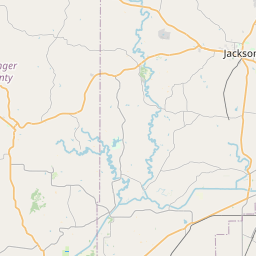
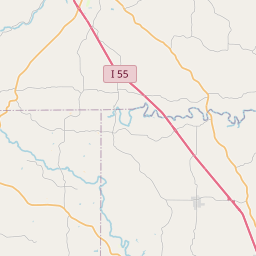
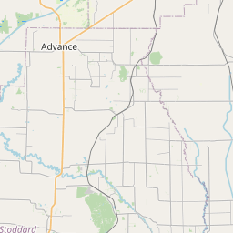
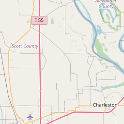

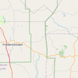
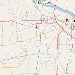

Check out our interactive map of Allenville, Missouri and you'll easily find your way around the Allenville major roads and highways.
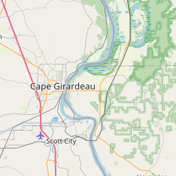
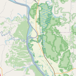
Satellite Map of Allenville, MO, USA
This is online map of the address Allenville, MO, United States. You may use button to move and zoom in / out. The map information is for reference only.
Georger Farms Airport (13.69 Km / 8.50 Miles)
Lost Hill Aviation Airport (15.21 Km / 9.45 Miles)
Painton Airport (15.68 Km / 9.74 Miles)
Cape Girardeau Regional Airport (16.54 Km / 10.28 Miles)
Saint Francis Medical Center Heliport (18.94 Km / 11.77 Miles)
Advance Intermediate Field (19.79 Km / 12.30 Miles)
Southeast Mo Hospital Heliport (21.60 Km / 13.42 Miles)
Ira Biffle Airfield (23.56 Km / 14.64 Miles)
Prince STOLport (24.13 Km / 14.99 Miles)
DELTA ELEM. (2.88 Km / 1.79 Miles)
DELTA HIGH (3.02 Km / 1.87 Miles)
List of places near to Allenville
| Name | Distance |
|---|---|
| Delta | 3.36 Km / 2.09 Miles |
| Whitewater | 3.82 Km / 2.37 Miles |
| Dutchtown | 9.32 Km / 5.79 Miles |
| Chaffee | 10.19 Km / 6.33 Miles |
| Gordonville | 12.12 Km / 7.53 Miles |
| Oran | 17.69 Km / 10.99 Miles |
| Kelso | 18.75 Km / 11.65 Miles |
| Advance | 18.81 Km / 11.69 Miles |
| Scott City | 19.48 Km / 12.10 Miles |
| Jackson | 19.60 Km / 12.18 Miles |
| Cape Girardeau | 20.15 Km / 12.52 Miles |
| Marble Hill | 21.03 Km / 13.07 Miles |
| Benton | 22.10 Km / 13.73 Miles |
| Pike | 22.57 Km / 14.02 Miles |
| Bell City | 22.70 Km / 14.11 Miles |
| Lambert | 23.04 Km / 14.32 Miles |
| Morley | 23.71 Km / 14.73 Miles |
| East Cape Girardeau | 24.56 Km / 15.26 Miles |