Amelia Map, Satellite view of Amelia, Louisiana
Amelia is a census-designated place (CDP) located in St. Mary Parish, Louisiana, USA.
Location informations of Amelia
Latitude of city of Amelia is 29.66632 and longitude of city of Amelia is -91.10204- What Country is Amelia In? Amelia is located in the United States of America.
- What State is Amelia located in? Amelia is located in Louisiana.
- What County is Amelia In? The County of Amelia is St. Mary Parish
Amelia, Louisiana (LA), USA Geographic Information
| Country | United States |
| Country Code | US |
| State Name | Louisiana |
| Latitude | 29.66632 |
| Longitude | -91.10204 |
| DMS Lat | 29°39'58.752" N |
| DMS Long | 91°6'7.344" W |
| DMS coordinates : | 29°39'58.752" N 91°6'7.344" W |
Current Date and Time in Amelia, Louisiana, USA
| Amelia Time Zone : America/Chicago |
What day is it in Amelia right now?Wednesday (May 21, 2025) |
What time is it?Current local time and date at Amelia is 19:18:08 (05/21/2025) : (America/Chicago) |
Postcode / zip code of Amelia
Amelia is the actual or alternate city name associated with 2 ZIP Codes by the US Postal Service.
List of all postal codes in Amelia, Louisiana, United States.
70340 Zip Code 70380 Zip Code
Online Map of Amelia - road map, satellite view and street view
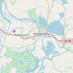
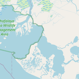
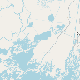

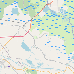

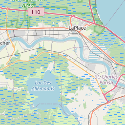
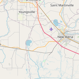

Check out our interactive map of Amelia, Louisiana and you'll easily find your way around the Amelia major roads and highways.
Satellite Map of Amelia, LA, USA
This is online map of the address Amelia, LA, United States. You may use button to move and zoom in / out. The map information is for reference only.
Air Logistics Amelia Base Heliport (551 m / 0.34 Miles)
Bayou Boeuf Seaplane Base (1.92 Km / 1.19 Miles)
Amelia Airport (2.19 Km / 1.36 Miles)
Marine Shale Processors Inc Heliport (2.58 Km / 1.60 Miles)
Arco Morgan City Heliport (2.68 Km / 1.67 Miles)
Era - Morgan City Heliport (2.83 Km / 1.76 Miles)
Lake Palourde Base Heliport (3.12 Km / 1.94 Miles)
Texaco Heliport (7.12 Km / 4.42 Miles)
Shell Morgan City Heliport (8.03 Km / 4.99 Miles)
Kerr McGee Heliport (9.19 Km / 5.71 Miles)
RTI/Data-Com Heliport (9.69 Km / 6.02 Miles)
Mobil Heliport (9.93 Km / 6.17 Miles)
Ochsner St Mary Hospital Heliport (10.65 Km / 6.62 Miles)
District 8 Emergency Heliport (11.36 Km / 7.06 Miles)
CAGC Berwick Heliport (12.42 Km / 7.71 Miles)
Garber Brothers Heliport (12.54 Km / 7.79 Miles)
Berwick Shore Base Heliport (13.40 Km / 8.33 Miles)
Shell Pipe Line Gibson Heliport (16.81 Km / 10.45 Miles)
Greenwood Plantation Ultralightport (20.63 Km / 12.82 Miles)
Harry P Williams Memorial Airport (23.39 Km / 14.53 Miles)
J.S. Aucoin Elementary School (310 m / 0.19 Miles)
List of places near to Amelia
| Name | Distance |
|---|---|
| Siracusaville | 5.02 Km / 3.12 Miles |
| Bayou L'Ourse | 6.95 Km / 4.32 Miles |
| Morgan City | 9.93 Km / 6.17 Miles |
| Berwick | 11.73 Km / 7.29 Miles |
| Bayou Vista | 16.52 Km / 10.27 Miles |
| Patterson | 19.55 Km / 12.15 Miles |
| Labadieville | 23.67 Km / 14.71 Miles |
| Supreme | 24.43 Km / 15.18 Miles |