Bethune Map, Satellite view of Bethune, South Carolina
Bethune is a town located in Kershaw County, South Carolina, USA.
Location informations of Bethune
Latitude of city of Bethune is 34.41488 and longitude of city of Bethune is -80.34868- What Country is Bethune In? Bethune is located in the United States of America.
- What State is Bethune located in? Bethune is located in South Carolina.
- What County is Bethune In? The County of Bethune is Kershaw County
Bethune, South Carolina (SC), USA Geographic Information
| Country | United States |
| Country Code | US |
| State Name | South Carolina |
| Latitude | 34.41488 |
| Longitude | -80.34868 |
| DMS Lat | 34°24'53.568" N |
| DMS Long | 80°20'55.248" W |
| DMS coordinates : | 34°24'53.568" N 80°20'55.248" W |
Current Date and Time in Bethune, South Carolina, USA
| Bethune Time Zone : America/New_York |
What day is it in Bethune right now?Sunday (June 1, 2025) |
What time is it?Current local time and date at Bethune is 6/1/2025 - 7:07:00 PM |
Postcode / zip code of Bethune
Bethune is the actual or alternate city name associated with 1 ZIP Codes by the US Postal Service.
List of all postal codes in Bethune, South Carolina, United States.
29009 Zip Code
Online Map of Bethune - road map, satellite view and street view


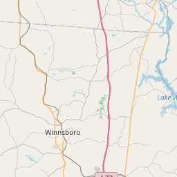
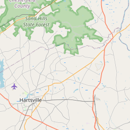
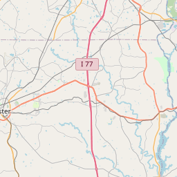
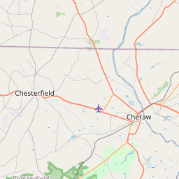
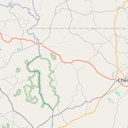

Check out our interactive map of Bethune, South Carolina and you'll easily find your way around the Bethune major roads and highways.
Satellite Map of Bethune, SC, USA
This is online map of the address Bethune, SC, United States. You may use button to move and zoom in / out. The map information is for reference only.
Robinson Nuclear Power Plant Heliport (17.84 Km / 11.09 Miles)
Hartsville Regional Airport (21.09 Km / 13.11 Miles)
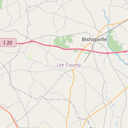
Lee County Butters Field (21.59 Km / 13.41 Miles)
Carolina Pines Regional Medical Center Heliport (23.67 Km / 14.70 Miles)
Bermuda High Gliderport (23.72 Km / 14.74 Miles)
Woodward Field (24.64 Km / 15.31 Miles)
Bethune Elementary (732 m / 0.45 Miles)
List of places near to Bethune
| Name | Distance |
|---|---|
| McBee | 10.42 Km / 6.47 Miles |
| Bishopville | 23.73 Km / 14.75 Miles |