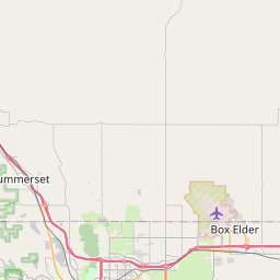
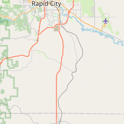
Box Elder Map, Satellite view of Box Elder, South Dakota
Box Elder is a city located in Meade County, Pennington County, South Dakota, USA.
Location informations of Box Elder
Latitude of city of Box Elder is 44.11094 and longitude of city of Box Elder is -103.08107- What Country is Box Elder In? Box Elder is located in the United States of America.
- What State is Box Elder located in? Box Elder is located in South Dakota.
- What County is Box Elder In? Box Elder, South Dakota sits in Two different counties: Meade County, Pennington County
Box Elder, South Dakota (SD), USA Geographic Information
| Country | United States |
| Country Code | US |
| State Name | South Dakota |
| Latitude | 44.11094 |
| Longitude | -103.08107 |
| DMS Lat | 44°6'39.384" N |
| DMS Long | 103°4'51.852" W |
| DMS coordinates : | 44°6'39.384" N 103°4'51.852" W |
Current Date and Time in Box Elder, South Dakota, USA
| Box Elder Time Zone : America/Denver |
What day is it in Box Elder right now?Friday (June 6, 2025) |
What time is it?Current local time and date at Box Elder is 6/6/2025 - 3:59:02 PM |
Postcode / zip code of Box Elder
Box Elder is the actual or alternate city name associated with 4 ZIP Codes by the US Postal Service.
List of all postal codes in Box Elder, South Dakota, United States.
57701 Zip Code 57703 Zip Code 57706 Zip Code 57719 Zip Code
Online Map of Box Elder - road map, satellite view and street view


Check out our interactive map of Box Elder, South Dakota and you'll easily find your way around the Box Elder major roads and highways.
Satellite Map of Box Elder, SD, USA
This is online map of the address Box Elder, SD, United States. You may use button to move and zoom in / out. The map information is for reference only.
Ellsworth Air Force Base (4.21 Km / 2.61 Miles)
Rapid City Regional Airport (7.55 Km / 4.69 Miles)
Dan's Airport (8.19 Km / 5.09 Miles)
Running Colors Airport (10.15 Km / 6.31 Miles)
Rapid City Regional Hospital Heliport (13.00 Km / 8.08 Miles)
Barber Strip (13.29 Km / 8.26 Miles)
Camp Rapid Heliport (15.73 Km / 9.77 Miles)
Shooting Star Ranch Heliport (18.89 Km / 11.74 Miles)
Vandenberg Elementary - 02 (2.93 Km / 1.82 Miles)
Douglas High School - 03 (3.08 Km / 1.91 Miles)
Douglas Preschool - 08 (3.24 Km / 2.01 Miles)
Patriot Elementary -06 (3.24 Km / 2.01 Miles)
Douglas Middle School - 01 (3.49 Km / 2.17 Miles)
National American University-Ellsworth AFB Extension (3.27 Km / 2.03 Miles)
List of places near to Box Elder
| Name | Distance |
|---|---|
| Ashland Heights | 4.09 Km / 2.54 Miles |
| Rapid Valley | 7.49 Km / 4.65 Miles |
| Green Valley | 8.72 Km / 5.42 Miles |
| Rapid City | 12.44 Km / 7.73 Miles |
| Caputa | 15.23 Km / 9.46 Miles |
| Blackhawk | 18.65 Km / 11.59 Miles |
| New Underwood | 19.64 Km / 12.20 Miles |
| Colonial Pine Hills | 21.96 Km / 13.65 Miles |
| Summerset | 22.73 Km / 14.12 Miles |