Bradford Map, Satellite view of Bradford, Vermont
Bradford is a town located in Orange County, Vermont, USA.
Location informations of Bradford
Latitude of city of Bradford is 44.01218 and longitude of city of Bradford is -72.15830- What Country is Bradford In? Bradford is located in the United States of America.
- What State is Bradford located in? Bradford is located in Vermont.
- What County is Bradford In? The County of Bradford is Orange County
Bradford, Vermont (VT), USA Geographic Information
| Country | United States |
| Country Code | US |
| State Name | Vermont |
| Latitude | 44.01218 |
| Longitude | -72.1583 |
| DMS Lat | 44°0'43.848" N |
| DMS Long | 72°9'29.88" W |
| DMS coordinates : | 44°0'43.848" N 72°9'29.88" W |
Current Date and Time in Bradford, Vermont, USA
| Bradford Time Zone : America/New_York |
What day is it in Bradford right now?Friday (April 25, 2025) |
What time is it?Current local time and date at Bradford is 4/25/2025 - 12:13:56 PM |
Postcode / zip code of Bradford
Bradford is the actual or alternate city name associated with 2 ZIP Codes by the US Postal Service.
List of all postal codes in Bradford, Vermont, United States.
05033 Zip Code 05040 Zip Code
Online Map of Bradford - road map, satellite view and street view
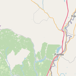
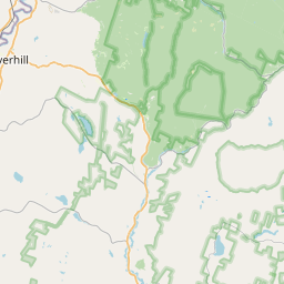
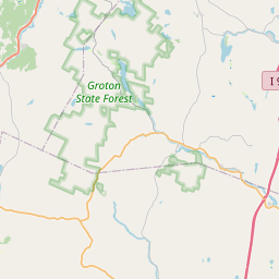
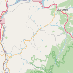
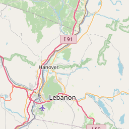

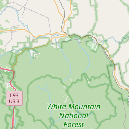
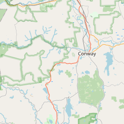


Check out our interactive map of Bradford, Vermont and you'll easily find your way around the Bradford major roads and highways.
Satellite Map of Bradford, VT, USA
This is online map of the address Bradford, VT, United States. You may use button to move and zoom in / out. The map information is for reference only.
Bradford Armory Heliport (3.06 Km / 1.90 Miles)
Oxbow Heliport (5.51 Km / 3.42 Miles)
Brookside Heliport (11.93 Km / 7.41 Miles)
Dean Memorial Airport (14.23 Km / 8.84 Miles)
Post Mills Airport (16.15 Km / 10.04 Miles)
Cottage Hospital Heliport (17.38 Km / 10.80 Miles)
Upper Valley Heliport (17.64 Km / 10.96 Miles)
Swain Hill Heliport (22.30 Km / 13.85 Miles)
Bradford Elementary School (3.06 Km / 1.90 Miles)
River Bend Career & Technical Center (3.58 Km / 2.23 Miles)
Oxbow UHSD #30 (3.58 Km / 2.23 Miles)
List of places near to Bradford
| Name | Distance |
|---|---|
| Bradford (CDP) | 3.20 Km / 1.99 Miles |
| Corinth | 10.50 Km / 6.52 Miles |
| Fairlee | 10.62 Km / 6.60 Miles |
| Newbury | 10.92 Km / 6.79 Miles |
| West Fairlee | 10.98 Km / 6.82 Miles |
| Fairlee (CDP) | 11.69 Km / 7.26 Miles |
| Newbury (Town) | 12.35 Km / 7.67 Miles |
| North Haverhill | 13.66 Km / 8.49 Miles |
| Piermont | 13.75 Km / 8.54 Miles |
| Haverhill | 14.17 Km / 8.80 Miles |
| Vershire | 14.80 Km / 9.20 Miles |
| Orford | 17.45 Km / 10.84 Miles |
| Wells River | 18.12 Km / 11.26 Miles |
| Woodsville | 18.33 Km / 11.39 Miles |
| Topsham | 18.83 Km / 11.70 Miles |
| Mountain Lakes | 20.26 Km / 12.59 Miles |
| Thetford | 20.83 Km / 12.94 Miles |
| Groton (CDP) | 22.23 Km / 13.81 Miles |
| Washington | 22.29 Km / 13.85 Miles |
| Lyme | 22.34 Km / 13.88 Miles |
| Strafford | 22.59 Km / 14.04 Miles |
| Orange | 22.82 Km / 14.18 Miles |
| Chelsea (CDP) | 23.27 Km / 14.46 Miles |
| Bath | 23.40 Km / 14.54 Miles |
| Ryegate | 23.66 Km / 14.70 Miles |
| Chelsea | 23.86 Km / 14.83 Miles |
| Warren | 24.48 Km / 15.21 Miles |