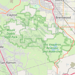
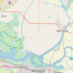
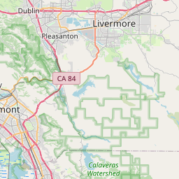
Byron Map, Satellite view of Byron, California
Byron is a census-designated place (CDP) located in Contra Costa County, California, USA.
Location informations of Byron
Latitude of city of Byron is 37.86715 and longitude of city of Byron is -121.63801- What Country is Byron In? Byron is located in the United States of America.
- What State is Byron located in? Byron is located in California.
- What County is Byron In? The County of Byron is Contra Costa County
Byron, California (CA), USA Geographic Information
| Country | United States |
| Country Code | US |
| State Name | California |
| Latitude | 37.86715 |
| Longitude | -121.63801 |
| DMS Lat | 37°52'1.74" N |
| DMS Long | 121°38'16.836" W |
| DMS coordinates : | 37°52'1.74" N 121°38'16.836" W |
Current Date and Time in Byron, California, USA
| Byron Time Zone : America/Los_Angeles |
What day is it in Byron right now?Wednesday (May 21, 2025) |
What time is it?Current local time and date at Byron is 20:13:03 (05/21/2025) : (America/Los_Angeles) |
Postcode / zip code of Byron
Byron is the actual or alternate city name associated with 2 ZIP Codes by the US Postal Service.
List of all postal codes in Byron, California, United States.
94513 Zip Code 94514 Zip Code
Online Map of Byron - road map, satellite view and street view


Check out our interactive map of Byron, California and you'll easily find your way around the Byron major roads and highways.
Satellite Map of Byron, CA, USA
This is online map of the address Byron, CA, United States. You may use button to move and zoom in / out. The map information is for reference only.
Byron Hot Springs Airport (1.85 Km / 1.15 Miles)
Discovery Bay Airport (3.02 Km / 1.88 Miles)
Byron Airport (1955) (3.66 Km / 2.28 Miles)
Byron Airport (4.74 Km / 2.95 Miles)
Las Serpientes Airport (7.65 Km / 4.76 Miles)
Funny Farm Airport (8.90 Km / 5.53 Miles)
John Muir Mt. Diablo Medical Center Heliport (10.52 Km / 6.53 Miles)
Kaiser Permanente Antioch Medical Center Helport (15.23 Km / 9.46 Miles)
Haley Flying Service Airport (17.06 Km / 10.60 Miles)
Naval Outlying Landing Field Mays School (17.87 Km / 11.10 Miles)
Antioch Airport (17.97 Km / 11.17 Miles)
Heritage Field Airport (18.98 Km / 11.79 Miles)
Sutter Delta Medical Center Heliport (19.32 Km / 12.01 Miles)
Hummingbird Haven Airport (19.56 Km / 12.16 Miles)
PG&E Livermore Training Center Heliport (19.72 Km / 12.26 Miles)
Naval Air Station Livermore (20.80 Km / 12.93 Miles)
Lost Isle Seaplane Base (22.00 Km / 13.67 Miles)
Meadowlark Field (23.41 Km / 14.55 Miles)
Livermore Sky Ranch (23.63 Km / 14.68 Miles)
Excelsior Middle (1.19 Km / 0.74 Miles)
Timber Point Elementary (4.77 Km / 2.97 Miles)
List of places near to Byron
| Name | Distance |
|---|---|
| Discovery Bay | 5.67 Km / 3.52 Miles |
| Brentwood | 8.80 Km / 5.47 Miles |
| Knightsen | 11.61 Km / 7.21 Miles |
| Mountain House | 12.53 Km / 7.79 Miles |
| Oakley | 15.89 Km / 9.87 Miles |
| Bethel Island | 16.43 Km / 10.21 Miles |
| Antioch | 21.24 Km / 13.20 Miles |
| Camino Tassajara | 23.17 Km / 14.40 Miles |
| Tracy | 23.46 Km / 14.58 Miles |
| Livermore | 23.56 Km / 14.64 Miles |
| Blackhawk | 24.24 Km / 15.06 Miles |