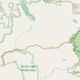
C-Road Map, Satellite view of C-Road, California
C-Road is a census-designated place (CDP) located in Plumas County, California, USA.
Location informations of C-Road
Latitude of city of C-Road is 39.76273 and longitude of city of C-Road is -120.57705- What Country is C-Road In? C-Road is located in the United States of America.
- What State is C-Road located in? C-Road is located in California.
- What County is C-Road In? The County of C-Road is Plumas County
C-Road, California (CA), USA Geographic Information
| Country | United States |
| Country Code | US |
| State Name | California |
| Latitude | 39.76273 |
| Longitude | -120.57705 |
| DMS Lat | 39°45'45.828" N |
| DMS Long | 120°34'37.38" W |
| DMS coordinates : | 39°45'45.828" N 120°34'37.38" W |
Current Date and Time in C-Road, California, USA
| C-Road Time Zone : America/Los_Angeles |
What day is it in C-Road right now?Wednesday (May 21, 2025) |
What time is it?Current local time and date at C-Road is 09:40:49 (05/21/2025) : (America/Los_Angeles) |
Postcode / zip code of C-Road
C-Road is the actual or alternate city name associated with 2 ZIP Codes by the US Postal Service.
List of all postal codes in C-Road, California, United States.
96103 Zip Code 96106 Zip Code
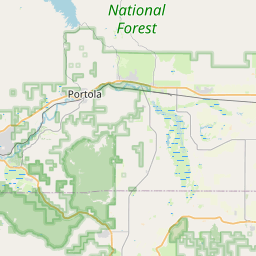
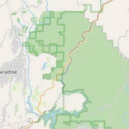
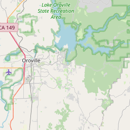
Online Map of C-Road - road map, satellite view and street view


Leaflet | © OpenStreetMap contributors
Check out our interactive map of C-Road, California and you'll easily find your way around the C-Road major roads and highways.
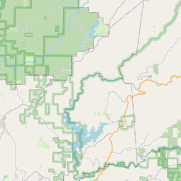
Satellite Map of C-Road, CA, USA
This is online map of the address C-Road, CA, United States. You may use button to move and zoom in / out. The map information is for reference only.
Search distance between two cities
Totem Pole Ranch Airport (16.99 Km / 10.56 Miles)
Calpine Airport (17.62 Km / 10.95 Miles)
Calpine South Airport (18.67 Km / 11.60 Miles)
Nervino Airport (20.12 Km / 12.50 Miles)
Cities or Towns near C-Road
List of places near to C-Road
| Name | Distance |
|---|---|
| Mohawk Vista | 2.01 Km / 1.25 Miles |
| Clio | 2.19 Km / 1.36 Miles |
| Valley Ranch | 2.94 Km / 1.83 Miles |
| Graeagle | 3.57 Km / 2.22 Miles |
| Blairsden | 3.94 Km / 2.45 Miles |
| Gold Mountain | 4.96 Km / 3.08 Miles |
| Whitehawk | 5.20 Km / 3.23 Miles |
| Mabie | 5.86 Km / 3.64 Miles |
| Plumas Eureka | 6.97 Km / 4.33 Miles |
| Iron Horse | 7.41 Km / 4.60 Miles |
| Delleker | 8.48 Km / 5.27 Miles |
| Johnsville | 10.13 Km / 6.29 Miles |
| Portola | 10.64 Km / 6.61 Miles |
| Cromberg | 14.60 Km / 9.07 Miles |
| Lake Davis | 14.83 Km / 9.21 Miles |
| Calpine | 15.91 Km / 9.89 Miles |
| Beckwourth | 18.10 Km / 11.25 Miles |
| Sattley | 20.75 Km / 12.89 Miles |
| Greenhorn | 21.63 Km / 13.44 Miles |
| Sierra City | 22.44 Km / 13.94 Miles |
| Spring Garden | 23.12 Km / 14.37 Miles |