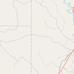
Clarks Map, Satellite view of Clarks, Louisiana
Clarks is a village located in Caldwell Parish, Louisiana, USA.
Location informations of Clarks
Latitude of city of Clarks is 32.02655 and longitude of city of Clarks is -92.13903- What Country is Clarks In? Clarks is located in the United States of America.
- What State is Clarks located in? Clarks is located in Louisiana.
- What County is Clarks In? The County of Clarks is Caldwell Parish
Clarks, Louisiana (LA), USA Geographic Information
| Country | United States |
| Country Code | US |
| State Name | Louisiana |
| Latitude | 32.02655 |
| Longitude | -92.13903 |
| DMS Lat | 32°1'35.58" N |
| DMS Long | 92°8'20.508" W |
| DMS coordinates : | 32°1'35.58" N 92°8'20.508" W |
Current Date and Time in Clarks, Louisiana, USA
| Clarks Time Zone : America/Chicago |
What day is it in Clarks right now?Saturday (May 31, 2025) |
What time is it?Current local time and date at Clarks is 11:49:55 (05/31/2025) : (America/Chicago) |
Postcode / zip code of Clarks
Clarks is the actual or alternate city name associated with 2 ZIP Codes by the US Postal Service.
List of all postal codes in Clarks, Louisiana, United States.
71415 Zip Code 71435 Zip Code
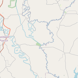
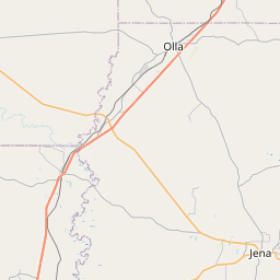
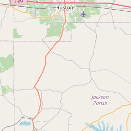
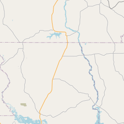
Online Map of Clarks - road map, satellite view and street view
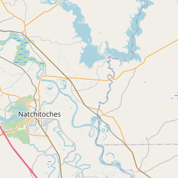


Leaflet | © OpenStreetMap contributors
Check out our interactive map of Clarks, Louisiana and you'll easily find your way around the Clarks major roads and highways.
Satellite Map of Clarks, LA, USA
This is online map of the address Clarks, LA, United States. You may use button to move and zoom in / out. The map information is for reference only.
Search distance between two cities
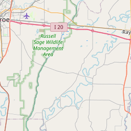
Citizens Medical Center Heliport (7.12 Km / 4.42 Miles)
Caldwell Parish Airport (13.28 Km / 8.25 Miles)
Olla Airport (16.33 Km / 10.15 Miles)
Hardtner Medical Center Heliport (22.46 Km / 13.96 Miles)
Grayson Elementary School (3.78 Km / 2.35 Miles)
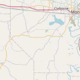
Cities or Towns near Clarks
List of places near to Clarks
| Name | Distance |
|---|---|
| Grayson | 3.82 Km / 2.37 Miles |
| Banks Springs | 7.55 Km / 4.69 Miles |
| Columbia | 10.47 Km / 6.51 Miles |
| Olla | 16.90 Km / 10.50 Miles |
| Urania | 23.39 Km / 14.53 Miles |