Colonial Heights Map, Satellite view of Colonial Heights, Tennessee
Colonial Heights is a census-designated place (CDP) located in Sullivan County, Tennessee, USA.
Location informations of Colonial Heights
Latitude of city of Colonial Heights is 36.48510 and longitude of city of Colonial Heights is -82.50320- What Country is Colonial Heights In? Colonial Heights is located in the United States of America.
- What State is Colonial Heights located in? Colonial Heights is located in Tennessee.
- What County is Colonial Heights In? The County of Colonial Heights is Sullivan County
Colonial Heights, Tennessee (TN), USA Geographic Information
| Country | United States |
| Country Code | US |
| State Name | Tennessee |
| Latitude | 36.4851 |
| Longitude | -82.5032 |
| DMS Lat | 36°29'6.36" N |
| DMS Long | 82°30'11.52" W |
| DMS coordinates : | 36°29'6.36" N 82°30'11.52" W |
Current Date and Time in Colonial Heights, Tennessee, USA
| Colonial Heights Time Zone : America/New_York |
What day is it in Colonial Heights right now?Saturday (June 7, 2025) |
What time is it?Current local time and date at Colonial Heights is 6/7/2025 - 4:10:40 PM |
Postcode / zip code of Colonial Heights
Colonial Heights is the actual or alternate city name associated with 1 ZIP Codes by the US Postal Service.
List of all postal codes in Colonial Heights, Tennessee, United States.
37663 Zip Code
Area Codes Colonial Heights, Tennessee, USA
Colonial Heights, Tennessee covers 1 Area Codes
423 Area CodeOnline Map of Colonial Heights - road map, satellite view and street view
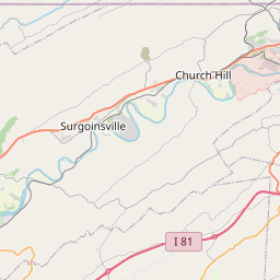
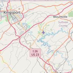
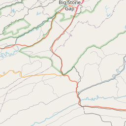
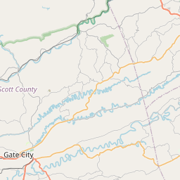
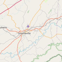
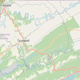

Check out our interactive map of Colonial Heights, Tennessee and you'll easily find your way around the Colonial Heights major roads and highways.
Satellite Map of Colonial Heights, TN, USA
This is online map of the address Colonial Heights, TN, United States. You may use button to move and zoom in / out. The map information is for reference only.
Brendle's Heliport (7.19 Km / 4.47 Miles)
Indian Path Medical Center Heliport (7.47 Km / 4.64 Miles)
Tri-Cities Regional TN/VA Airport (8.64 Km / 5.37 Miles)
Holston Valley Medical Center Heliport (8.82 Km / 5.48 Miles)
Indian Springs Airport (9.00 Km / 5.59 Miles)
Ramada Helistop (9.16 Km / 5.69 Miles)
Center Field (14.60 Km / 9.07 Miles)
Mc Afee Stol Patch STOLport (16.04 Km / 9.96 Miles)
Darnell's Field (16.18 Km / 10.05 Miles)
Darnell's Landings Airport (18.79 Km / 11.68 Miles)
Edwards Heliport (19.64 Km / 12.20 Miles)
Air Trade Center Heliport (19.64 Km / 12.20 Miles)
Roach Farm Airport (21.97 Km / 13.65 Miles)
Johnson City Stolport Airport (22.00 Km / 13.67 Miles)
Bristol Motor Speedway Heliport (22.02 Km / 13.68 Miles)
Johnson City Medical Center Heliport (22.30 Km / 13.86 Miles)
Tva Heliport (22.39 Km / 13.91 Miles)
Murphy Field (22.54 Km / 14.01 Miles)
Kite Field (24.13 Km / 14.99 Miles)
Bristol Regional Medical Center Heliport (24.70 Km / 15.35 Miles)
Colonial Heights Middle (913 m / 0.57 Miles)
Sullivan South High School (2.82 Km / 1.75 Miles)
Rock Springs Elementary (3.07 Km / 1.91 Miles)
Miller Perry Elementary (3.63 Km / 2.25 Miles)
List of places near to Colonial Heights
| Name | Distance |
|---|---|
| Kingsport | 5.36 Km / 3.33 Miles |
| Spurgeon | 5.88 Km / 3.65 Miles |
| Gray | 7.64 Km / 4.75 Miles |
| Oak Grove | 10.77 Km / 6.69 Miles |
| Bloomingdale | 11.13 Km / 6.92 Miles |
| Fall Branch | 13.26 Km / 8.24 Miles |
| Mount Carmel | 15.61 Km / 9.70 Miles |
| Weber City | 16.20 Km / 10.07 Miles |
| Blountville | 16.65 Km / 10.35 Miles |
| Gate City | 18.35 Km / 11.40 Miles |
| Church Hill | 19.25 Km / 11.96 Miles |
| Johnson City | 19.28 Km / 11.98 Miles |
| Jonesborough | 21.39 Km / 13.29 Miles |
| Bluff City | 21.69 Km / 13.48 Miles |
| Watauga | 22.93 Km / 14.25 Miles |
| Walnut Hill | 23.95 Km / 14.88 Miles |