Elm Map, Satellite view of Elm, Kansas
Elm is a township located in Allen County, Kansas, USA.
Location informations of Elm
Latitude of city of Elm is 37.90556 and longitude of city of Elm is -95.29810- What Country is Elm In? Elm is located in the United States of America.
- What State is Elm located in? Elm is located in Kansas.
- What County is Elm In? The County of Elm is Allen County
Elm, Kansas (KS), USA Geographic Information
| Country | United States |
| Country Code | US |
| State Name | Kansas |
| Latitude | 37.90556 |
| Longitude | -95.2981 |
| DMS Lat | 37°54'20.016" N |
| DMS Long | 95°17'53.16" W |
| DMS coordinates : | 37°54'20.016" N 95°17'53.16" W |
Current Date and Time in Elm, Kansas, USA
| Elm Time Zone : America/Chicago |
What day is it in Elm right now?Thursday (April 24, 2025) |
What time is it?Current local time and date at Elm is 4/24/2025 - 5:30:19 AM |
Postcode / zip code of Elm
Elm is the actual or alternate city name associated with 4 ZIP Codes by the US Postal Service.
List of all postal codes in Elm, Kansas, United States.
66742 Zip Code 66749 Zip Code 66751 Zip Code 66755 Zip Code
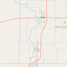
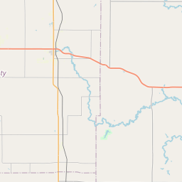
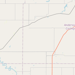
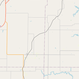
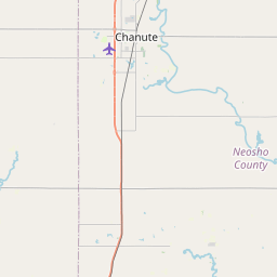
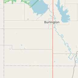
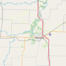
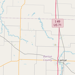
Online Map of Elm - road map, satellite view and street view


Leaflet | © OpenStreetMap contributors
Check out our interactive map of Elm, Kansas and you'll easily find your way around the Elm major roads and highways.
Satellite Map of Elm, KS, USA
This is online map of the address Elm, KS, United States. You may use button to move and zoom in / out. The map information is for reference only.
Search distance between two cities
Ensminger Airport (7.74 Km / 4.81 Miles)
Allen County Airport (8.69 Km / 5.40 Miles)
Croisant Airport (12.75 Km / 7.92 Miles)
Lamb Ranch Airport (20.98 Km / 13.03 Miles)
Cities or Towns near Elm
List of places near to Elm
| Name | Distance |
|---|---|
| La Harpe | 1.27 Km / 0.79 Miles |
| Gas | 4.67 Km / 2.90 Miles |
| Iola | 9.18 Km / 5.70 Miles |
| Bassett | 9.31 Km / 5.78 Miles |
| Salem | 9.33 Km / 5.80 Miles |
| Deer Creek | 10.17 Km / 6.32 Miles |
| Moran | 11.28 Km / 7.01 Miles |
| Carlyle | 11.96 Km / 7.43 Miles |
| Marmaton | 12.42 Km / 7.72 Miles |
| Humboldt (Township) | 13.02 Km / 8.09 Miles |
| Iola (Township) | 13.70 Km / 8.51 Miles |
| Humboldt | 16.13 Km / 10.02 Miles |
| Mildred | 17.22 Km / 10.70 Miles |
| Elsmore (Township) | 17.24 Km / 10.71 Miles |
| Osage | 17.29 Km / 10.74 Miles |
| Cottage Grove | 17.42 Km / 10.82 Miles |
| Elsmore | 17.92 Km / 11.13 Miles |
| Geneva | 18.96 Km / 11.78 Miles |
| Colony | 19.31 Km / 12.00 Miles |
| Bronson | 19.75 Km / 12.27 Miles |
| Lone Elm | 19.99 Km / 12.42 Miles |
| Ozark | 20.08 Km / 12.48 Miles |
| Logan | 20.20 Km / 12.55 Miles |
| Piqua | 20.89 Km / 12.98 Miles |
| Lone Elm (Township) | 21.28 Km / 13.22 Miles |
| Savonburg | 22.00 Km / 13.67 Miles |
| Tioga | 23.10 Km / 14.35 Miles |
| Kincaid | 23.56 Km / 14.64 Miles |
| Big Creek | 23.63 Km / 14.68 Miles |
| Neosho Falls (Township) | 23.74 Km / 14.75 Miles |
| Indian Creek | 24.85 Km / 15.44 Miles |