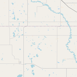
Finley Map, Satellite view of Finley, North Dakota
Finley is a city located in Steele County, North Dakota, USA.
Location informations of Finley
Latitude of city of Finley is 47.51416 and longitude of city of Finley is -97.83593- What Country is Finley In? Finley is located in the United States of America.
- What State is Finley located in? Finley is located in North Dakota.
- What County is Finley In? The County of Finley is Steele County
Finley, North Dakota (ND), USA Geographic Information
| Country | United States |
| Country Code | US |
| State Name | North Dakota |
| Latitude | 47.51416 |
| Longitude | -97.83593 |
| DMS Lat | 47°30'50.976" N |
| DMS Long | 97°50'9.348" W |
| DMS coordinates : | 47°30'50.976" N 97°50'9.348" W |
Current Date and Time in Finley, North Dakota, USA
| Finley Time Zone : America/Chicago |
What day is it in Finley right now?Sunday (April 27, 2025) |
What time is it?Current local time and date at Finley is 08:07:42 (04/27/2025) : (America/Chicago) |
Postcode / zip code of Finley
Finley is the actual or alternate city name associated with 1 ZIP Codes by the US Postal Service.
List of all postal codes in Finley, North Dakota, United States.
58230 Zip Code
Online Map of Finley - road map, satellite view and street view
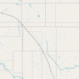
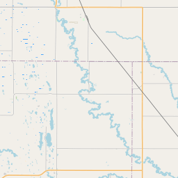
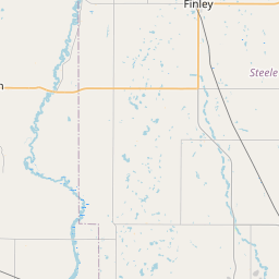
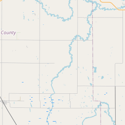
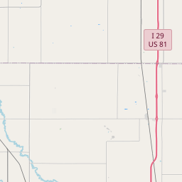
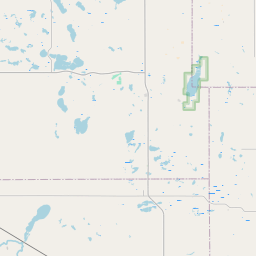

Check out our interactive map of Finley, North Dakota and you'll easily find your way around the Finley major roads and highways.
Satellite Map of Finley, ND, USA
This is online map of the address Finley, ND, United States. You may use button to move and zoom in / out. The map information is for reference only.
Johnson Private Airstrip (20.70 Km / 12.86 Miles)
Fugleberg Farm Airport (21.45 Km / 13.33 Miles)
Cooperstown Municipal Airport (22.69 Km / 14.10 Miles)
Hashbarger Farm Airstrip (23.83 Km / 14.81 Miles)
Berg Field (24.53 Km / 15.24 Miles)
FINLEY-SHARON HIGH SCHOOL (114 m / 0.07 Miles)
FINLEY-SHARON ELEMENTARY SCHOOL (114 m / 0.07 Miles)
List of places near to Finley
| Name | Distance |
|---|---|
| Finley (Township) | 4.95 Km / 3.08 Miles |
| Franklin | 6.09 Km / 3.78 Miles |
| Easton | 8.17 Km / 5.08 Miles |
| Greenview | 9.67 Km / 6.01 Miles |
| Sharon | 10.21 Km / 6.34 Miles |
| Westfield | 12.69 Km / 7.89 Miles |
| Golden Lake | 14.29 Km / 8.88 Miles |
| Sherbrooke | 14.38 Km / 8.94 Miles |
| Romness | 15.50 Km / 9.63 Miles |
| Riverside | 15.55 Km / 9.66 Miles |
| Sharon (Township) | 15.85 Km / 9.85 Miles |
| Washburn | 16.10 Km / 10.00 Miles |
| Melrose | 17.39 Km / 10.81 Miles |
| Beaver Creek | 18.23 Km / 11.33 Miles |
| Hugo | 20.62 Km / 12.81 Miles |
| Lenora | 20.85 Km / 12.96 Miles |
| Aneta | 21.63 Km / 13.44 Miles |
| Loretta | 22.45 Km / 13.95 Miles |
| Sverdrup | 22.95 Km / 14.26 Miles |
| Hope | 22.99 Km / 14.29 Miles |
| Cooperstown | 22.99 Km / 14.29 Miles |
| Primrose | 23.37 Km / 14.52 Miles |
| Enger | 23.68 Km / 14.71 Miles |
| Ora | 24.66 Km / 15.32 Miles |
| Lind | 24.95 Km / 15.50 Miles |