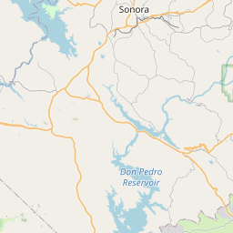
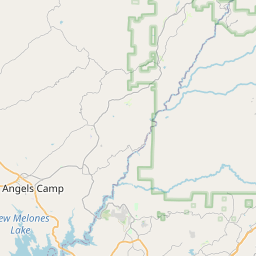
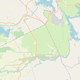
Groveland Map, Satellite view of Groveland, California
Groveland is a census-designated place (CDP) located in Tuolumne County, California, USA.
Location informations of Groveland
Latitude of city of Groveland is 37.83826 and longitude of city of Groveland is -120.23269- What Country is Groveland In? Groveland is located in the United States of America.
- What State is Groveland located in? Groveland is located in California.
- What County is Groveland In? The County of Groveland is Tuolumne County
Groveland, California (CA), USA Geographic Information
| Country | United States |
| Country Code | US |
| State Name | California |
| Latitude | 37.83826 |
| Longitude | -120.23269 |
| DMS Lat | 37°50'17.736" N |
| DMS Long | 120°13'57.684" W |
| DMS coordinates : | 37°50'17.736" N 120°13'57.684" W |
Current Date and Time in Groveland, California, USA
| Groveland Time Zone : America/Los_Angeles |
What day is it in Groveland right now?Saturday (May 31, 2025) |
What time is it?Current local time and date at Groveland is 11:02:41 (05/31/2025) : (America/Los_Angeles) |
Postcode / zip code of Groveland
Groveland is the actual or alternate city name associated with 2 ZIP Codes by the US Postal Service.
List of all postal codes in Groveland, California, United States.
95305 Zip Code 95321 Zip Code
Online Map of Groveland - road map, satellite view and street view


Check out our interactive map of Groveland, California and you'll easily find your way around the Groveland major roads and highways.
Satellite Map of Groveland, CA, USA
This is online map of the address Groveland, CA, United States. You may use button to move and zoom in / out. The map information is for reference only.
Pine Mountain Lake Airport (5.44 Km / 3.38 Miles)
Hermitage Airport (5.77 Km / 3.58 Miles)
Granite Dell Airport (16.31 Km / 10.13 Miles)
Spring Creek Airport (18.22 Km / 11.32 Miles)
Sonora Regional Medical Center Heliport (19.68 Km / 12.23 Miles)
Sierra Pacific Airstrip (19.91 Km / 12.37 Miles)
Red Hills Airstrip (22.59 Km / 14.03 Miles)
Oak Flat Mine Airport (22.90 Km / 14.23 Miles)
Moccasin Community Day (1.10 Km / 0.69 Miles)
Tenaya Elementary (1.11 Km / 0.69 Miles)
Tioga High (2.83 Km / 1.76 Miles)
List of places near to Groveland
| Name | Distance |
|---|---|
| Pine Mountain Lake | 5.07 Km / 3.15 Miles |
| Greeley Hill | 13.78 Km / 8.56 Miles |
| Tuolumne City | 13.86 Km / 8.61 Miles |
| Coulterville | 14.53 Km / 9.03 Miles |
| Buck Meadows | 15.06 Km / 9.36 Miles |
| Soulsbyville | 16.51 Km / 10.26 Miles |
| Chinese Camp | 17.98 Km / 11.17 Miles |
| Mono Vista | 18.03 Km / 11.20 Miles |
| East Sonora | 19.18 Km / 11.92 Miles |
| Phoenix Lake | 19.75 Km / 12.27 Miles |
| Sonora | 20.85 Km / 12.96 Miles |
| Jamestown | 21.01 Km / 13.06 Miles |
| Twain Harte | 22.39 Km / 13.91 Miles |
| Lake Don Pedro | 23.37 Km / 14.52 Miles |