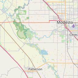
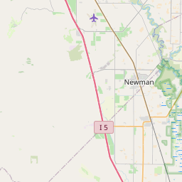
Hilmar-Irwin Map, Satellite view of Hilmar-Irwin, California
Hilmar-Irwin is a census-designated place (CDP) located in Merced County, California, USA.
Location informations of Hilmar-Irwin
Latitude of city of Hilmar-Irwin is 37.40454 and longitude of city of Hilmar-Irwin is -120.85043- What Country is Hilmar-Irwin In? Hilmar-Irwin is located in the United States of America.
- What State is Hilmar-Irwin located in? Hilmar-Irwin is located in California.
- What County is Hilmar-Irwin In? The County of Hilmar-Irwin is Merced County
Hilmar-Irwin, California (CA), USA Geographic Information
| Country | United States |
| Country Code | US |
| State Name | California |
| Latitude | 37.40454 |
| Longitude | -120.85043 |
| DMS Lat | 37°24'16.344" N |
| DMS Long | 120°51'1.548" W |
| DMS coordinates : | 37°24'16.344" N 120°51'1.548" W |
Current Date and Time in Hilmar-Irwin, California, USA
| Hilmar-Irwin Time Zone : America/Los_Angeles |
What day is it in Hilmar-Irwin right now?Saturday (June 7, 2025) |
What time is it?Current local time and date at Hilmar-Irwin is 6/7/2025 - 4:39:35 AM |
Postcode / zip code of Hilmar-Irwin
Hilmar-Irwin is the actual or alternate city name associated with 1 ZIP Codes by the US Postal Service.
List of all postal codes in Hilmar-Irwin, California, United States.
95324 Zip Code
Online Map of Hilmar-Irwin - road map, satellite view and street view


Check out our interactive map of Hilmar-Irwin, California and you'll easily find your way around the Hilmar-Irwin major roads and highways.
Satellite Map of Hilmar-Irwin, CA, USA
This is online map of the address Hilmar-Irwin, CA, United States. You may use button to move and zoom in / out. The map information is for reference only.
Ahlem Farms Airport (7.00 Km / 4.35 Miles)
Turlock Airpark (7.39 Km / 4.59 Miles)
Farmco Airport (8.57 Km / 5.33 Miles)
Stevinson Strip (8.99 Km / 5.59 Miles)
Fiorini Ranch Airport (9.24 Km / 5.74 Miles)
Fiorini Airport (9.47 Km / 5.89 Miles)
Chemurgic Airport (9.91 Km / 6.16 Miles)
Emanuel Medical Center Heliport (12.06 Km / 7.49 Miles)
Turlock Municipal Airport (16.38 Km / 10.18 Miles)
Patterson Airport (17.40 Km / 10.81 Miles)
Gustine Airport (18.65 Km / 11.59 Miles)
Fulkerth Airport (20.24 Km / 12.57 Miles)
NASA Crows Landing Airport (22.84 Km / 14.19 Miles)
Atwater Municipal Airport (1957) (23.14 Km / 14.38 Miles)
Atwater Airport (1936) (24.07 Km / 14.95 Miles)
Colony Basic Skills Alternative High (319 m / 0.20 Miles)
Hilmar High (335 m / 0.21 Miles)
Elim Elementary (550 m / 0.34 Miles)
Hilmar Middle (893 m / 0.55 Miles)
Irwin High (Continuation) (901 m / 0.56 Miles)
List of places near to Hilmar-Irwin
| Name | Distance |
|---|---|
| Delhi | 7.05 Km / 4.38 Miles |
| Stevinson | 8.54 Km / 5.31 Miles |
| Turlock | 10.03 Km / 6.23 Miles |
| Livingston | 11.38 Km / 7.07 Miles |
| Ballico | 13.90 Km / 8.64 Miles |
| Denair | 14.34 Km / 8.91 Miles |
| Cressey | 16.25 Km / 10.10 Miles |
| Keyes | 17.86 Km / 11.10 Miles |
| Newman | 18.12 Km / 11.26 Miles |
| Crows Landing | 19.57 Km / 12.16 Miles |
| Monterey Park Tract | 19.67 Km / 12.22 Miles |
| Gustine | 20.94 Km / 13.01 Miles |
| Winton | 21.02 Km / 13.06 Miles |
| Cowan | 21.17 Km / 13.15 Miles |
| Hughson | 21.43 Km / 13.32 Miles |
| Atwater | 22.24 Km / 13.82 Miles |
| Ceres | 23.19 Km / 14.41 Miles |