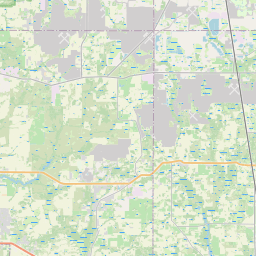
Homeland Map, Satellite view of Homeland, Florida
Homeland is a census-designated place (CDP) located in Polk County, Florida, USA.
Location informations of Homeland
Latitude of city of Homeland is 27.81781 and longitude of city of Homeland is -81.82453- What Country is Homeland In? Homeland is located in the United States of America.
- What State is Homeland located in? Homeland is located in Florida.
- What County is Homeland In? The County of Homeland is Polk County
Homeland, Florida (FL), USA Geographic Information
| Country | United States |
| Country Code | US |
| State Name | Florida |
| Latitude | 27.81781 |
| Longitude | -81.82453 |
| DMS Lat | 27°49'4.116" N |
| DMS Long | 81°49'28.308" W |
| DMS coordinates : | 27°49'4.116" N 81°49'28.308" W |
Current Date and Time in Homeland, Florida, USA
| Homeland Time Zone : America/New_York |
What day is it in Homeland right now?Wednesday (May 21, 2025) |
What time is it?Current local time and date at Homeland is 5/21/2025 - 11:37:16 PM |
Postcode / zip code of Homeland
Homeland is the actual or alternate city name associated with 2 ZIP Codes by the US Postal Service.
List of all postal codes in Homeland, Florida, United States.
33830 Zip Code 33847 Zip Code
Online Map of Homeland - road map, satellite view and street view
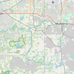
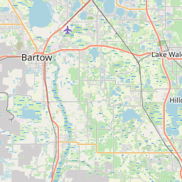
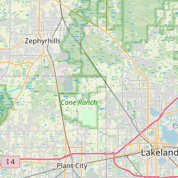
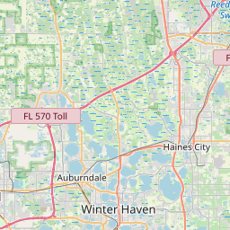
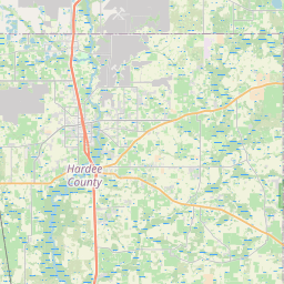

Check out our interactive map of Homeland, Florida and you'll easily find your way around the Homeland major roads and highways.
Satellite Map of Homeland, FL, USA
This is online map of the address Homeland, FL, United States. You may use button to move and zoom in / out. The map information is for reference only.
Bartow High School Heliport (7.11 Km / 4.42 Miles)
Sheriffs Helistop (9.36 Km / 5.82 Miles)
Barton Regional Medical Center Heliport (11.42 Km / 7.10 Miles)
Bartow Executive Airport (14.54 Km / 9.03 Miles)
Dancing Oaks Heliport (15.02 Km / 9.33 Miles)
Land South Heliport (15.23 Km / 9.47 Miles)
Mulberry High School Heliport (15.77 Km / 9.80 Miles)
Jubilee Acres Airport (17.24 Km / 10.71 Miles)
Villa Char Mar Airport (17.42 Km / 10.82 Miles)
Waters Heliport (18.32 Km / 11.38 Miles)
Lake Wales Municipal Airport (21.77 Km / 13.53 Miles)
Little's Heliport (22.10 Km / 13.73 Miles)
Ridge Landing Airport (23.04 Km / 14.31 Miles)
Cypress Gardens Heliport (23.07 Km / 14.33 Miles)
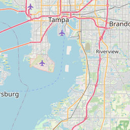
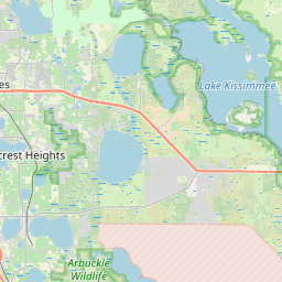
List of places near to Homeland
| Name | Distance |
|---|---|
| Fort Meade | 7.63 Km / 4.74 Miles |
| Bartow | 8.93 Km / 5.55 Miles |
| Alturas | 12.32 Km / 7.66 Miles |
| Bradley Junction | 15.53 Km / 9.65 Miles |
| Mulberry | 16.99 Km / 10.56 Miles |
| Highland City | 17.22 Km / 10.70 Miles |
| Wahneta | 17.81 Km / 11.07 Miles |
| Eagle Lake | 19.06 Km / 11.84 Miles |
| Fuller Heights | 19.86 Km / 12.34 Miles |
| Bowling Green | 19.95 Km / 12.40 Miles |
| Lakeland Highlands | 20.03 Km / 12.45 Miles |
| Willow Oak | 21.93 Km / 13.63 Miles |
| Medulla | 22.19 Km / 13.79 Miles |
| Jan Phyl Village | 22.50 Km / 13.98 Miles |
| Cypress Gardens | 23.62 Km / 14.68 Miles |
| Crooked Lake Park | 23.69 Km / 14.72 Miles |
| Winter Haven | 24.45 Km / 15.19 Miles |