Ivanhoe Map, Satellite view of Ivanhoe, Kansas
Ivanhoe is a township located in Finney County, Kansas, USA.
Location informations of Ivanhoe
Latitude of city of Ivanhoe is 37.79612 and longitude of city of Ivanhoe is -100.91236- What Country is Ivanhoe In? Ivanhoe is located in the United States of America.
- What State is Ivanhoe located in? Ivanhoe is located in Kansas.
- What County is Ivanhoe In? The County of Ivanhoe is Finney County
Ivanhoe, Kansas (KS), USA Geographic Information
| Country | United States |
| Country Code | US |
| State Name | Kansas |
| Latitude | 37.79612 |
| Longitude | -100.91236 |
| DMS Lat | 37°47'46.032" N |
| DMS Long | 100°54'44.496" W |
| DMS coordinates : | 37°47'46.032" N 100°54'44.496" W |
Current Date and Time in Ivanhoe, Kansas, USA
| Ivanhoe Time Zone : America/Chicago |
What day is it in Ivanhoe right now?Sunday (May 25, 2025) |
What time is it?Current local time and date at Ivanhoe is 22:21:39 (05/25/2025) : (America/Chicago) |
Postcode / zip code of Ivanhoe
Ivanhoe is the actual or alternate city name associated with 1 ZIP Codes by the US Postal Service.
List of all postal codes in Ivanhoe, Kansas, United States.
67846 Zip Code
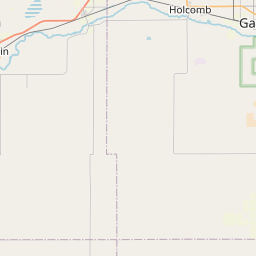
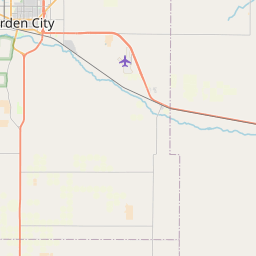
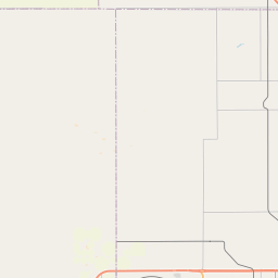
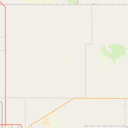
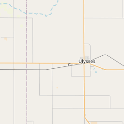
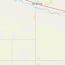
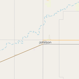
Online Map of Ivanhoe - road map, satellite view and street view

Leaflet | © OpenStreetMap contributors
Check out our interactive map of Ivanhoe, Kansas and you'll easily find your way around the Ivanhoe major roads and highways.
Satellite Map of Ivanhoe, KS, USA
This is online map of the address Ivanhoe, KS, United States. You may use button to move and zoom in / out. The map information is for reference only.
Search distance between two cities
Hitch Feeders Ii Inc. Airport (16.44 Km / 10.22 Miles)
St Catherine Hospital Heliport (19.75 Km / 12.27 Miles)
Farris Airport (20.11 Km / 12.50 Miles)
Robinson Heliport (20.98 Km / 13.04 Miles)
Garden City Regional Airport (22.06 Km / 13.71 Miles)
Plymell Elementary (3.89 Km / 2.42 Miles)
Cities or Towns near Ivanhoe
List of places near to Ivanhoe
| Name | Distance |
|---|---|
| Garden City (Township) | 16.30 Km / 10.13 Miles |
| Garden City | 19.83 Km / 12.32 Miles |
| Sherlock | 20.42 Km / 12.69 Miles |
| Pierceville | 21.36 Km / 13.27 Miles |
| Holcomb | 22.18 Km / 13.78 Miles |
| Southside | 24.54 Km / 15.25 Miles |