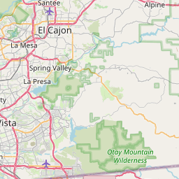
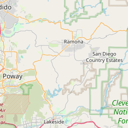
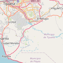
Jamul Map, Satellite view of Jamul, California
Jamul is a census-designated place (CDP) located in San Diego County, California, USA.
Location informations of Jamul
Latitude of city of Jamul is 32.71700 and longitude of city of Jamul is -116.87613- What Country is Jamul In? Jamul is located in the United States of America.
- What State is Jamul located in? Jamul is located in California.
- What County is Jamul In? The County of Jamul is San Diego County
Jamul, California (CA), USA Geographic Information
| Country | United States |
| Country Code | US |
| State Name | California |
| Latitude | 32.717 |
| Longitude | -116.87613 |
| DMS Lat | 32°43'1.2" N |
| DMS Long | 116°52'34.068" W |
| DMS coordinates : | 32°43'1.2" N 116°52'34.068" W |
Current Date and Time in Jamul, California, USA
| Jamul Time Zone : America/Los_Angeles |
What day is it in Jamul right now?Wednesday (May 21, 2025) |
What time is it?Current local time and date at Jamul is 5/21/2025 - 7:50:29 PM |
Postcode / zip code of Jamul
Jamul is the actual or alternate city name associated with 4 ZIP Codes by the US Postal Service.
List of all postal codes in Jamul, California, United States.
91935 Zip Code 91978 Zip Code 92019 Zip Code 92022 Zip Code
Online Map of Jamul - road map, satellite view and street view


Check out our interactive map of Jamul, California and you'll easily find your way around the Jamul major roads and highways.
Satellite Map of Jamul, CA, USA
This is online map of the address Jamul, CA, United States. You may use button to move and zoom in / out. The map information is for reference only.
John Nichols Field Airport (9.39 Km / 5.83 Miles)
Rancho del Otay Airfield (9.98 Km / 6.20 Miles)
Cal Fire San Diego Dulzura Fire Station 30 Heliport (12.45 Km / 7.73 Miles)
Grossmont Hospital Heliport (14.07 Km / 8.74 Miles)
Gillespie Field (15.09 Km / 9.38 Miles)
On the Rocks Airport (15.29 Km / 9.50 Miles)
Sharp Chula Vista Medical Center Heliport (17.51 Km / 10.88 Miles)
Brown Field Municipal Airport (18.80 Km / 11.68 Miles)
Paradise Valley Hospital Heliport (19.61 Km / 12.19 Miles)
KGTV-10 Parking Lot Heliport (20.70 Km / 12.86 Miles)
Wolfe Airpark (22.06 Km / 13.70 Miles)
National City Airport (22.23 Km / 13.81 Miles)
Tyce Airport (23.22 Km / 14.43 Miles)
Grande Vista Airport (23.29 Km / 14.47 Miles)
Reider Ranch Airport (23.68 Km / 14.71 Miles)
Parking Lot Heliport (23.87 Km / 14.83 Miles)
Borderland Field (24.11 Km / 14.98 Miles)
Oak Grove Middle (1.46 Km / 0.91 Miles)
Jamul Intermediate (2.30 Km / 1.43 Miles)
Jamul Primary (2.55 Km / 1.59 Miles)
Jamacha Elementary (4.16 Km / 2.59 Miles)
List of places near to Jamul
| Name | Distance |
|---|---|
| Rancho San Diego | 6.48 Km / 4.03 Miles |
| Granite Hills | 9.94 Km / 6.18 Miles |
| Crest | 10.07 Km / 6.26 Miles |
| Casa de Oro-Mount Helix | 10.12 Km / 6.29 Miles |
| La Presa | 11.37 Km / 7.06 Miles |
| Bostonia | 11.54 Km / 7.17 Miles |
| El Cajon | 11.83 Km / 7.35 Miles |
| Spring Valley | 11.89 Km / 7.39 Miles |
| Harbison Canyon | 12.27 Km / 7.62 Miles |
| Winter Gardens | 13.78 Km / 8.56 Miles |
| Lemon Grove | 14.80 Km / 9.20 Miles |
| La Mesa | 14.86 Km / 9.23 Miles |
| Bonita | 15.83 Km / 9.84 Miles |
| Lakeside | 16.18 Km / 10.05 Miles |
| Santee | 16.30 Km / 10.13 Miles |
| Alpine | 16.66 Km / 10.35 Miles |
| Eucalyptus Hills | 19.26 Km / 11.97 Miles |
| Chula Vista | 21.27 Km / 13.22 Miles |
| National City | 21.32 Km / 13.25 Miles |