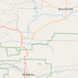
Keota Map, Satellite view of Keota, Oklahoma
Keota is a town located in Haskell County, Oklahoma, USA.
Location informations of Keota
Latitude of city of Keota is 35.25565 and longitude of city of Keota is -94.92162- What Country is Keota In? Keota is located in the United States of America.
- What State is Keota located in? Keota is located in Oklahoma.
- What County is Keota In? The County of Keota is Haskell County
Keota, Oklahoma (OK), USA Geographic Information
| Country | United States |
| Country Code | US |
| State Name | Oklahoma |
| Latitude | 35.25565 |
| Longitude | -94.92162 |
| DMS Lat | 35°15'20.34" N |
| DMS Long | 94°55'17.832" W |
| DMS coordinates : | 35°15'20.34" N 94°55'17.832" W |
Current Date and Time in Keota, Oklahoma, USA
| Keota Time Zone : America/Chicago |
What day is it in Keota right now?Thursday (April 24, 2025) |
What time is it?Current local time and date at Keota is 16:05:49 (04/24/2025) : (America/Chicago) |
Postcode / zip code of Keota
Keota is the actual or alternate city name associated with 1 ZIP Codes by the US Postal Service.
List of all postal codes in Keota, Oklahoma, United States.
74941 Zip Code
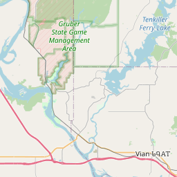
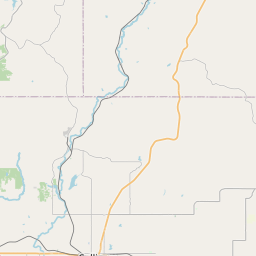
Online Map of Keota - road map, satellite view and street view
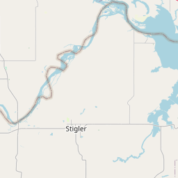
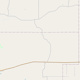
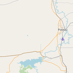

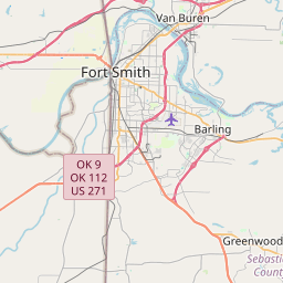
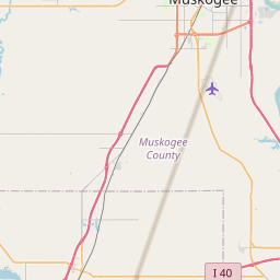
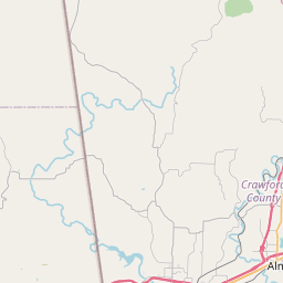
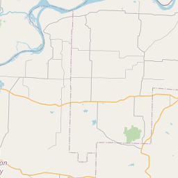


Leaflet | © OpenStreetMap contributors
Check out our interactive map of Keota, Oklahoma and you'll easily find your way around the Keota major roads and highways.
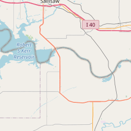
Satellite Map of Keota, OK, USA
This is online map of the address Keota, OK, United States. You may use button to move and zoom in / out. The map information is for reference only.
Search distance between two cities
Stigler Regional Airport (16.08 Km / 9.99 Miles)
Neversweat Too Airport (20.96 Km / 13.02 Miles)
Sallisaw Municipal Airport (22.98 Km / 14.28 Miles)
Cherokee Nation Redbird Smith Health Center Heliport (24.11 Km / 14.98 Miles)
KEOTA HS (235 m / 0.15 Miles)
KEOTA ES (407 m / 0.25 Miles)
Cities or Towns near Keota