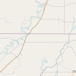
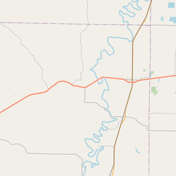
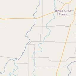
Kilbourne Map, Satellite view of Kilbourne, Louisiana
Kilbourne is a village located in West Carroll Parish, Louisiana, USA.
Location informations of Kilbourne
Latitude of city of Kilbourne is 32.99957 and longitude of city of Kilbourne is -91.31511- What Country is Kilbourne In? Kilbourne is located in the United States of America.
- What State is Kilbourne located in? Kilbourne is located in Louisiana.
- What County is Kilbourne In? The County of Kilbourne is West Carroll Parish
Kilbourne, Louisiana (LA), USA Geographic Information
| Country | United States |
| Country Code | US |
| State Name | Louisiana |
| Latitude | 32.99957 |
| Longitude | -91.31511 |
| DMS Lat | 32°59'58.452" N |
| DMS Long | 91°18'54.396" W |
| DMS coordinates : | 32°59'58.452" N 91°18'54.396" W |
Current Date and Time in Kilbourne, Louisiana, USA
| Kilbourne Time Zone : America/Chicago |
What day is it in Kilbourne right now?Friday (June 6, 2025) |
What time is it?Current local time and date at Kilbourne is 23:10:31 (06/06/2025) : (America/Chicago) |
Postcode / zip code of Kilbourne
Kilbourne is the actual or alternate city name associated with 2 ZIP Codes by the US Postal Service.
List of all postal codes in Kilbourne, Louisiana, United States.
71253 Zip Code 71263 Zip Code
Online Map of Kilbourne - road map, satellite view and street view


Check out our interactive map of Kilbourne, Louisiana and you'll easily find your way around the Kilbourne major roads and highways.
Satellite Map of Kilbourne, LA, USA
This is online map of the address Kilbourne, LA, United States. You may use button to move and zoom in / out. The map information is for reference only.
Ward's Airport (6.13 Km / 3.81 Miles)
Gassoway Airport (7.96 Km / 4.94 Miles)
Sciara and Whittington (Bobbie Harper Road) Airport (8.71 Km / 5.41 Miles)
Cottonwood Airport (10.33 Km / 6.42 Miles)
Costello Airport (11.02 Km / 6.85 Miles)
Sciara and Whittington (Beouff Street) Airport (13.14 Km / 8.16 Miles)
Baker Flying Service Airport (13.33 Km / 8.28 Miles)
Grand Lake Airport (13.78 Km / 8.56 Miles)
Berry Airport (16.06 Km / 9.98 Miles)
Kelly Airport (18.66 Km / 11.60 Miles)
Oglesby Farms Inc. Airport (22.32 Km / 13.87 Miles)
Byerley Airport (22.68 Km / 14.09 Miles)
Johnson Memorial Airport (23.04 Km / 14.31 Miles)
Browns Airport (23.86 Km / 14.83 Miles)
Wilson Airport (24.08 Km / 14.96 Miles)
East Carroll Parish Hospital Heliport (24.79 Km / 15.40 Miles)
Kilbourne High School (441 m / 0.27 Miles)