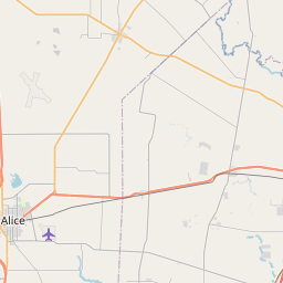
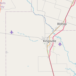
La Paloma-Lost Creek Map, Satellite view of La Paloma-Lost Creek, Texas
La Paloma-Lost Creek is a census-designated place (CDP) located in Nueces County, Texas, USA.
Location informations of La Paloma-Lost Creek
Latitude of city of La Paloma-Lost Creek is 27.71947 and longitude of city of La Paloma-Lost Creek is -97.73905- What Country is La Paloma-Lost Creek In? La Paloma-Lost Creek is located in the United States of America.
- What State is La Paloma-Lost Creek located in? La Paloma-Lost Creek is located in Texas.
- What County is La Paloma-Lost Creek In? The County of La Paloma-Lost Creek is Nueces County
La Paloma-Lost Creek, Texas (TX), USA Geographic Information
| Country | United States |
| Country Code | US |
| State Name | Texas |
| Latitude | 27.71947 |
| Longitude | -97.73905 |
| DMS Lat | 27°43'10.092" N |
| DMS Long | 97°44'20.58" W |
| DMS coordinates : | 27°43'10.092" N 97°44'20.58" W |
Current Date and Time in La Paloma-Lost Creek, Texas, USA
| La Paloma-Lost Creek Time Zone : America/Chicago |
What day is it in La Paloma-Lost Creek right now?Wednesday (June 18, 2025) |
What time is it?Current local time and date at La Paloma-Lost Creek is 6/18/2025 - 7:12:18 PM |
Postcode / zip code of La Paloma-Lost Creek
La Paloma-Lost Creek is the actual or alternate city name associated with 1 ZIP Codes by the US Postal Service.
List of all postal codes in La Paloma-Lost Creek, Texas, United States.
78380 Zip Code
Area Codes La Paloma-Lost Creek, Texas, USA
La Paloma-Lost Creek, Texas covers 1 Area Codes
361 Area CodeOnline Map of La Paloma-Lost Creek - road map, satellite view and street view


Check out our interactive map of La Paloma-Lost Creek, Texas and you'll easily find your way around the La Paloma-Lost Creek major roads and highways.
Satellite Map of La Paloma-Lost Creek, TX, USA
This is online map of the address La Paloma-Lost Creek, TX, United States. You may use button to move and zoom in / out. The map information is for reference only.
Kingsville Naval Outlying Landing Field Number 32 (5.82 Km / 3.62 Miles)
Kingsville Naval Outlying Landing Field Number 36 (5.96 Km / 3.70 Miles)
Kingsville Naval Outlying Landing Field Number 35 (6.60 Km / 4.10 Miles)
Nueces County Airport (8.11 Km / 5.04 Miles)
Rabb Dusting Inc Airport (9.40 Km / 5.84 Miles)
Tgp 1 Heliport (10.93 Km / 6.79 Miles)
Bishop-Windham Airport (12.21 Km / 7.59 Miles)
Kingsville Naval Outlying Landing Field Number 31 (12.38 Km / 7.70 Miles)
HFS Airport (13.45 Km / 8.36 Miles)
Old Hoppe Place Airport (14.23 Km / 8.84 Miles)
Kingsville Naval Outlying Landing Field Number 22 (14.64 Km / 9.10 Miles)
High Man Tower Airstrip (16.00 Km / 9.94 Miles)
Industrial Helicopters Inc Heliport (16.32 Km / 10.14 Miles)
Oliver Till Airport (17.72 Km / 11.01 Miles)
Kingsville Naval Outlying Landing Field Number 53 (18.97 Km / 11.79 Miles)
Kingsville Naval Outlying Landing Field Number 21 (20.55 Km / 12.77 Miles)
Dean Airport (22.23 Km / 13.81 Miles)
Cuddihy Field (22.27 Km / 13.84 Miles)
HPL Heliport (23.38 Km / 14.53 Miles)
Corpus Christi International Airport (24.08 Km / 14.96 Miles)
List of places near to La Paloma-Lost Creek
| Name | Distance |
|---|---|
| Spring Gardens | 4.78 Km / 2.97 Miles |
| Driscoll | 5.09 Km / 3.16 Miles |
| Tierra Verde | 5.14 Km / 3.19 Miles |
| Robstown | 10.47 Km / 6.51 Miles |
| North San Pedro | 10.82 Km / 6.72 Miles |
| Banquete | 11.15 Km / 6.93 Miles |
| Petronila | 11.45 Km / 7.11 Miles |
| Rancho Banquete | 13.71 Km / 8.52 Miles |
| Tierra Grande | 15.78 Km / 9.81 Miles |
| Bishop | 15.96 Km / 9.92 Miles |
| Agua Dulce | 18.06 Km / 11.22 Miles |
| Sandy Hollow-Escondidas | 23.99 Km / 14.91 Miles |