Leesville Map, Satellite view of Leesville, Louisiana
Leesville is a city located in Vernon Parish, Louisiana, USA.
Location informations of Leesville
Latitude of city of Leesville is 31.14352 and longitude of city of Leesville is -93.26100- What Country is Leesville In? Leesville is located in the United States of America.
- What State is Leesville located in? Leesville is located in Louisiana.
- What County is Leesville In? The County of Leesville is Vernon Parish
Leesville, Louisiana (LA), USA Geographic Information
| Country | United States |
| Country Code | US |
| State Name | Louisiana |
| Latitude | 31.14352 |
| Longitude | -93.261 |
| DMS Lat | 31°8'36.672" N |
| DMS Long | 93°15'39.6" W |
| DMS coordinates : | 31°8'36.672" N 93°15'39.6" W |
Current Date and Time in Leesville, Louisiana, USA
| Leesville Time Zone : America/Chicago |
What day is it in Leesville right now?Saturday (May 31, 2025) |
What time is it?Current local time and date at Leesville is 18:04:58 (05/31/2025) : (America/Chicago) |
Postcode / zip code of Leesville
Leesville is the actual or alternate city name associated with 3 ZIP Codes by the US Postal Service.
List of all postal codes in Leesville, Louisiana, United States.
71446 Zip Code 71459 Zip Code 71496 Zip Code
Online Map of Leesville - road map, satellite view and street view
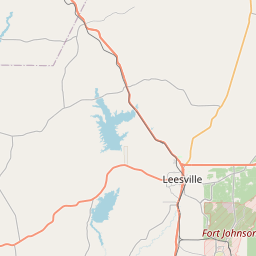
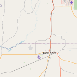
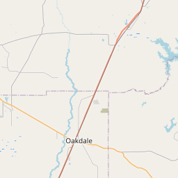
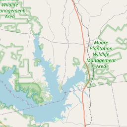
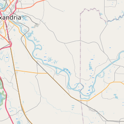

Check out our interactive map of Leesville, Louisiana and you'll easily find your way around the Leesville major roads and highways.
Satellite Map of Leesville, LA, USA
This is online map of the address Leesville, LA, United States. You may use button to move and zoom in / out. The map information is for reference only.
Byrd Regional Hospital Heliport (1.02 Km / 0.64 Miles)
Prairie Creek Airport (7.01 Km / 4.36 Miles)
Leesville Airport (8.24 Km / 5.12 Miles)
Bayne-Jones Army Community Hospital Heliport (9.93 Km / 6.17 Miles)
Self Forward Landing Strip (10.57 Km / 6.57 Miles)
Polk Army Air Field (12.81 Km / 7.96 Miles)
Kurthwood Forest Service Airstrip (21.60 Km / 13.42 Miles)
Leesville Junior High School (590 m / 0.37 Miles)
Leesville High School (870 m / 0.54 Miles)
East Leesville Elementary School (968 m / 0.60 Miles)
Vernon Middle School (1.75 Km / 1.09 Miles)
West Leesville Elementary School (1.90 Km / 1.18 Miles)
List of places near to Leesville
| Name | Distance |
|---|---|
| New Llano | 3.34 Km / 2.08 Miles |
| Fort Polk North | 9.52 Km / 5.92 Miles |
| Fort Polk South | 10.79 Km / 6.70 Miles |
| Anacoco | 14.29 Km / 8.88 Miles |
| Hornbeck | 24.11 Km / 14.98 Miles |
| Rosepine | 24.95 Km / 15.50 Miles |