Loveland Map, Satellite view of Loveland, Iowa
Loveland is a census-designated place (CDP) located in Pottawattamie County, Iowa, USA.
Location informations of Loveland
Latitude of city of Loveland is 41.49722 and longitude of city of Loveland is -95.89001- What Country is Loveland In? Loveland is located in the United States of America.
- What State is Loveland located in? Loveland is located in Iowa.
- What County is Loveland In? The County of Loveland is Pottawattamie County
Loveland, Iowa (IA), USA Geographic Information
| Country | United States |
| Country Code | US |
| State Name | Iowa |
| Latitude | 41.49722 |
| Longitude | -95.89001 |
| DMS Lat | 41°29'49.992" N |
| DMS Long | 95°53'24.036" W |
| DMS coordinates : | 41°29'49.992" N 95°53'24.036" W |
Current Date and Time in Loveland, Iowa, USA
| Loveland Time Zone : America/Chicago |
What day is it in Loveland right now?Wednesday (April 16, 2025) |
What time is it?Current local time and date at Loveland is 4/16/2025 - 9:47:49 AM |
Postcode / zip code of Loveland
Loveland is the actual or alternate city name associated with 1 ZIP Codes by the US Postal Service.
List of all postal codes in Loveland, Iowa, United States.
51555 Zip Code
Online Map of Loveland - road map, satellite view and street view

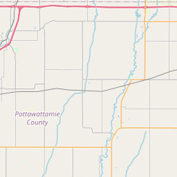

Check out our interactive map of Loveland, Iowa and you'll easily find your way around the Loveland major roads and highways.
Satellite Map of Loveland, IA, USA
This is online map of the address Loveland, IA, United States. You may use button to move and zoom in / out. The map information is for reference only.
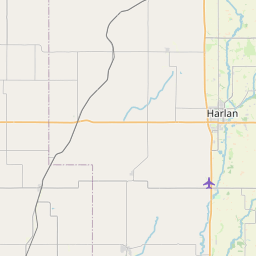
Missouri Valley Airport (4.79 Km / 2.98 Miles)
Robinson Airport (5.80 Km / 3.60 Miles)
Heaton Airport (7.97 Km / 4.95 Miles)
Bil Lo Airport (11.31 Km / 7.03 Miles)
Olsen Airport (12.86 Km / 7.99 Miles)
Kelley Airport (16.10 Km / 10.01 Miles)
North Omaha Airport (18.10 Km / 11.24 Miles)
Sky Ranch Airport (19.74 Km / 12.27 Miles)
Jubilee Heliport (20.47 Km / 12.72 Miles)
Blair Municipal Airport (20.61 Km / 12.80 Miles)
Eppley Airfield (21.58 Km / 13.41 Miles)
Immanuel Medical Center Heliport (22.32 Km / 13.87 Miles)
Bates Airpark (24.19 Km / 15.03 Miles)
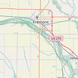
List of places near to Loveland
| Name | Distance |
|---|---|
| Missouri Valley | 6.58 Km / 4.09 Miles |
| California Junction | 11.07 Km / 6.88 Miles |
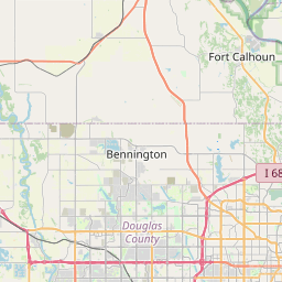
| Fort Calhoun | 12.26 Km / 7.62 Miles |
| Crescent | 14.94 Km / 9.28 Miles |
| Modale | 16.98 Km / 10.55 Miles |
| Logan | 18.27 Km / 11.35 Miles |
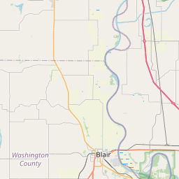
| Blair | 20.26 Km / 12.59 Miles |
| Weston | 21.37 Km / 13.28 Miles |
| Underwood | 21.60 Km / 13.42 Miles |
| Magnolia | 22.11 Km / 13.74 Miles |
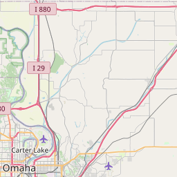
| Carter Lake | 23.10 Km / 14.35 Miles |
| Neola | 23.49 Km / 14.60 Miles |