Lowrys Map, Satellite view of Lowrys, South Carolina
Lowrys is a town located in Chester County, South Carolina, USA.
Location informations of Lowrys
Latitude of city of Lowrys is 34.80403 and longitude of city of Lowrys is -81.23925- What Country is Lowrys In? Lowrys is located in the United States of America.
- What State is Lowrys located in? Lowrys is located in South Carolina.
- What County is Lowrys In? The County of Lowrys is Chester County
Lowrys, South Carolina (SC), USA Geographic Information
| Country | United States |
| Country Code | US |
| State Name | South Carolina |
| Latitude | 34.80403 |
| Longitude | -81.23925 |
| DMS Lat | 34°48'14.508" N |
| DMS Long | 81°14'21.3" W |
| DMS coordinates : | 34°48'14.508" N 81°14'21.3" W |
Current Date and Time in Lowrys, South Carolina, USA
| Lowrys Time Zone : America/New_York |
What day is it in Lowrys right now?Tuesday (April 29, 2025) |
What time is it?Current local time and date at Lowrys is 09:04:40 (04/29/2025) : (America/New_York) |
Postcode / zip code of Lowrys
Lowrys is the actual or alternate city name associated with 1 ZIP Codes by the US Postal Service.
List of all postal codes in Lowrys, South Carolina, United States.
29706 Zip Code
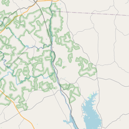
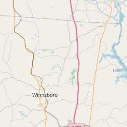
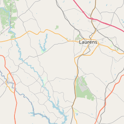
Online Map of Lowrys - road map, satellite view and street view
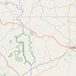
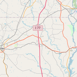
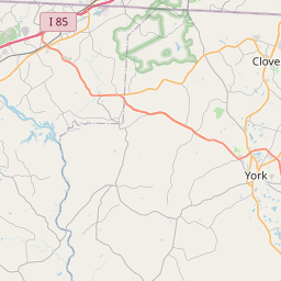
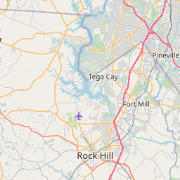


Leaflet | © OpenStreetMap contributors
Check out our interactive map of Lowrys, South Carolina and you'll easily find your way around the Lowrys major roads and highways.
Satellite Map of Lowrys, SC, USA
This is online map of the address Lowrys, SC, United States. You may use button to move and zoom in / out. The map information is for reference only.
Search distance between two cities
Chester Catawba Regional Airport (4.29 Km / 2.67 Miles)
Chester County Hospital Heliport (14.32 Km / 8.90 Miles)
Falls Landing (19.03 Km / 11.83 Miles)
Piedmont Medical Center Heliport (24.29 Km / 15.09 Miles)
Cities or Towns near Lowrys
List of places near to Lowrys
| Name | Distance |
|---|---|
| McConnells | 7.27 Km / 4.52 Miles |
| Eureka Mill | 10.47 Km / 6.51 Miles |
| Chester | 11.26 Km / 7.00 Miles |
| Gayle Mill | 11.34 Km / 7.05 Miles |
| Sharon | 18.79 Km / 11.68 Miles |
| Lockhart | 20.44 Km / 12.70 Miles |
| York | 21.16 Km / 13.15 Miles |
| Richburg | 22.33 Km / 13.88 Miles |
| Rock Hill | 23.71 Km / 14.73 Miles |
| Newport | 24.21 Km / 15.04 Miles |