Mandt Map, Satellite view of Mandt, Minnesota
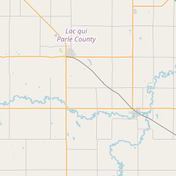
Mandt is a township located in Chippewa County, Minnesota, USA.
Location informations of Mandt
Latitude of city of Mandt is 45.09953 and longitude of city of Mandt is -95.67134- What Country is Mandt In? Mandt is located in the United States of America.
- What State is Mandt located in? Mandt is located in Minnesota.
- What County is Mandt In? The County of Mandt is Chippewa County
Mandt, Minnesota (MN), USA Geographic Information
| Country | United States |
| Country Code | US |
| State Name | Minnesota |
| Latitude | 45.09953 |
| Longitude | -95.67134 |
| DMS Lat | 45°5'58.308" N |
| DMS Long | 95°40'16.824" W |
| DMS coordinates : | 45°5'58.308" N 95°40'16.824" W |
Current Date and Time in Mandt, Minnesota, USA
| Mandt Time Zone : America/Chicago |
What day is it in Mandt right now?Thursday (May 22, 2025) |
What time is it?Current local time and date at Mandt is 5/22/2025 - 11:40:36 AM |
Postcode / zip code of Mandt
Mandt is the actual or alternate city name associated with 1 ZIP Codes by the US Postal Service.
List of all postal codes in Mandt, Minnesota, United States.
56265 Zip Code
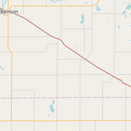
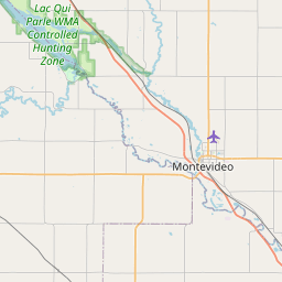
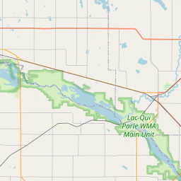
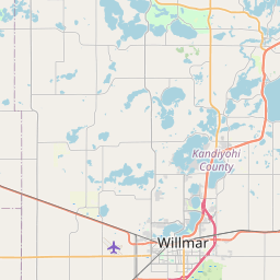
Online Map of Mandt - road map, satellite view and street view


Leaflet | © OpenStreetMap contributors
Check out our interactive map of Mandt, Minnesota and you'll easily find your way around the Mandt major roads and highways.
Satellite Map of Mandt, MN, USA
This is online map of the address Mandt, MN, United States. You may use button to move and zoom in / out. The map information is for reference only.
Search distance between two cities
Paynes Airport (12.77 Km / 7.94 Miles)
Montevideo Chippewa County Airport (14.82 Km / 9.21 Miles)
CCM Health Heliport (16.36 Km / 10.17 Miles)
Winter Strip (17.29 Km / 10.75 Miles)
Schwenk Airport (23.26 Km / 14.45 Miles)
Howard's Airport (23.80 Km / 14.79 Miles)
Benson Heliport (24.29 Km / 15.09 Miles)
Lorenz Airport (24.39 Km / 15.16 Miles)
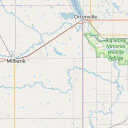
Cities or Towns near Mandt
List of places near to Mandt
| Name | Distance |
|---|---|
| Big Bend | 9.49 Km / 5.90 Miles |
| Rosewood | 9.49 Km / 5.90 Miles |
| Swenoda | 10.03 Km / 6.23 Miles |
| Grace | 10.05 Km / 6.24 Miles |
| Havelock | 12.77 Km / 7.93 Miles |
| Tunsberg | 12.93 Km / 8.03 Miles |
| Cashel | 14.28 Km / 8.87 Miles |
| Watson | 14.29 Km / 8.88 Miles |
| West Bank | 14.52 Km / 9.02 Miles |
| Sparta | 17.70 Km / 11.00 Miles |
| Montevideo | 17.94 Km / 11.15 Miles |
| Milan | 19.02 Km / 11.82 Miles |
| Louriston | 19.44 Km / 12.08 Miles |
| Kragero | 19.52 Km / 12.13 Miles |
| Six Mile Grove | 19.66 Km / 12.22 Miles |
| Dublin | 20.54 Km / 12.76 Miles |
| Edison | 21.07 Km / 13.09 Miles |
| Danvers | 21.24 Km / 13.20 Miles |
| Crate | 21.55 Km / 13.39 Miles |
| Torning | 21.57 Km / 13.40 Miles |
| Leenthrop | 21.59 Km / 13.42 Miles |
| Camp Release | 21.95 Km / 13.64 Miles |
| Lac qui Parle | 22.40 Km / 13.92 Miles |
| Marysland | 22.86 Km / 14.20 Miles |
| De Graff | 24.21 Km / 15.04 Miles |
| Benson | 24.60 Km / 15.29 Miles |
| Holloway | 24.88 Km / 15.46 Miles |