Norristown Map, Satellite view of Norristown, Georgia
Norristown is a census-designated place (CDP) located in Emanuel County, Georgia, USA.
Location informations of Norristown
Latitude of city of Norristown is 32.50683 and longitude of city of Norristown is -82.49430- What Country is Norristown In? Norristown is located in the United States of America.
- What State is Norristown located in? Norristown is located in Georgia.
- What County is Norristown In? The County of Norristown is Emanuel County
Norristown, Georgia (GA), USA Geographic Information
| Country | United States |
| Country Code | US |
| State Name | Georgia |
| Latitude | 32.50683 |
| Longitude | -82.4943 |
| DMS Lat | 32°30'24.588" N |
| DMS Long | 82°29'39.48" W |
| DMS coordinates : | 32°30'24.588" N 82°29'39.48" W |
Current Date and Time in Norristown, Georgia, USA
| Norristown Time Zone : America/New_York |
What day is it in Norristown right now?Monday (May 19, 2025) |
What time is it?Current local time and date at Norristown is 5/19/2025 - 6:38:34 PM |
Postcode / zip code of Norristown
Norristown is the actual or alternate city name associated with 3 ZIP Codes by the US Postal Service.
List of all postal codes in Norristown, Georgia, United States.
30401 Zip Code 30447 Zip Code 31002 Zip Code
Online Map of Norristown - road map, satellite view and street view
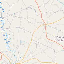


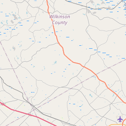
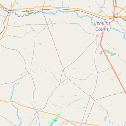
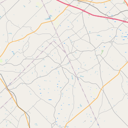


Check out our interactive map of Norristown, Georgia and you'll easily find your way around the Norristown major roads and highways.
Satellite Map of Norristown, GA, USA
This is online map of the address Norristown, GA, United States. You may use button to move and zoom in / out. The map information is for reference only.
Treutlen County Airport (14.76 Km / 9.17 Miles)
Emanuel County Airport (16.29 Km / 10.12 Miles)
Emanuel County Hospital Heliport (16.77 Km / 10.42 Miles)
Darla's Airport (19.33 Km / 12.01 Miles)
Daniels Airport (22.00 Km / 13.67 Miles)
Holt Airpark (23.18 Km / 14.40 Miles)
Cauley's Airstrip (23.74 Km / 14.75 Miles)