Norwood Map, Satellite view of Norwood, Missouri
Norwood is a city located in Wright County, Missouri, USA.
Location informations of Norwood
Latitude of city of Norwood is 37.10839 and longitude of city of Norwood is -92.41489- What Country is Norwood In? Norwood is located in the United States of America.
- What State is Norwood located in? Norwood is located in Missouri.
- What County is Norwood In? The County of Norwood is Wright County
Norwood, Missouri (MO), USA Geographic Information
| Country | United States |
| Country Code | US |
| State Name | Missouri |
| Latitude | 37.10839 |
| Longitude | -92.41489 |
| DMS Lat | 37°6'30.204" N |
| DMS Long | 92°24'53.604" W |
| DMS coordinates : | 37°6'30.204" N 92°24'53.604" W |
Current Date and Time in Norwood, Missouri, USA
| Norwood Time Zone : America/Chicago |
What day is it in Norwood right now?Wednesday (March 26, 2025) |
What time is it?Current local time and date at Norwood is 3/26/2025 - 4:47:56 AM |
Postcode / zip code of Norwood
Norwood is the actual or alternate city name associated with 1 ZIP Codes by the US Postal Service.
List of all postal codes in Norwood, Missouri, United States.
65717 Zip Code
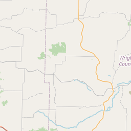
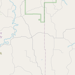
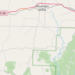
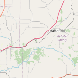
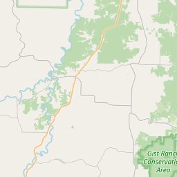
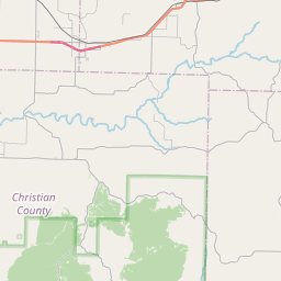
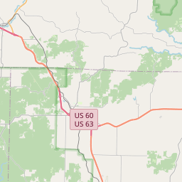
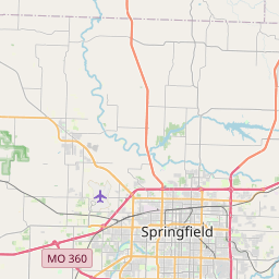
Online Map of Norwood - road map, satellite view and street view


Leaflet | © OpenStreetMap contributors
Check out our interactive map of Norwood, Missouri and you'll easily find your way around the Norwood major roads and highways.
Satellite Map of Norwood, MO, USA
This is online map of the address Norwood, MO, United States. You may use button to move and zoom in / out. The map information is for reference only.
Search distance between two cities
Mountain Grove Memorial Airport (9.30 Km / 5.78 Miles)
Oak Ridge Airpark (9.97 Km / 6.19 Miles)
Belly Acres Ranch Airport (17.52 Km / 10.88 Miles)
Mansfield Municipal Airport (18.40 Km / 11.43 Miles)
Arnika Ranch Airport (18.66 Km / 11.60 Miles)
NORWOOD HIGH (596 m / 0.37 Miles)
NORWOOD ELEM. (660 m / 0.41 Miles)
Cities or Towns near Norwood
List of places near to Norwood
| Name | Distance |
|---|---|
| Mountain Grove | 13.48 Km / 8.38 Miles |
| Mansfield | 14.71 Km / 9.14 Miles |
| Hartville | 17.96 Km / 11.16 Miles |
| Clinton | 18.77 Km / 11.66 Miles |