Olney Map, Satellite view of Olney, Illinois
Olney is a city located in Richland County, Illinois, USA.
Location informations of Olney
Latitude of city of Olney is 38.73088 and longitude of city of Olney is -88.08532- What Country is Olney In? Olney is located in the United States of America.
- What State is Olney located in? Olney is located in Illinois.
- What County is Olney In? The County of Olney is Richland County
Olney, Illinois (IL), USA Geographic Information
| Country | United States |
| Country Code | US |
| State Name | Illinois |
| Latitude | 38.73088 |
| Longitude | -88.08532 |
| DMS Lat | 38°43'51.168" N |
| DMS Long | 88°5'7.152" W |
| DMS coordinates : | 38°43'51.168" N 88°5'7.152" W |
Current Date and Time in Olney, Illinois, USA
| Olney Time Zone : America/Chicago |
What day is it in Olney right now?Saturday (May 17, 2025) |
What time is it?Current local time and date at Olney is 13:47:40 (05/17/2025) : (America/Chicago) |
Postcode / zip code of Olney
Olney is the actual or alternate city name associated with 1 ZIP Codes by the US Postal Service.
List of all postal codes in Olney, Illinois, United States.
62450 Zip Code
Online Map of Olney - road map, satellite view and street view

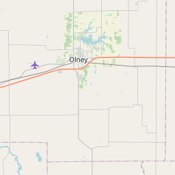
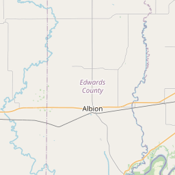
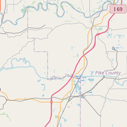

Check out our interactive map of Olney, Illinois and you'll easily find your way around the Olney major roads and highways.
Satellite Map of Olney, IL, USA
This is online map of the address Olney, IL, United States. You may use button to move and zoom in / out. The map information is for reference only.
Richland Memorial Hospital Heliport (1.01 Km / 0.63 Miles)
Olney Noble Airport (7.97 Km / 4.95 Miles)
Il Dept of Corrections/Lawrence County Heliport (15.38 Km / 9.55 Miles)
Jasper County Flying Club Airport (23.18 Km / 14.40 Miles)
Richland County High School (1.21 Km / 0.75 Miles)
Richland County Middle School (1.88 Km / 1.17 Miles)
Richland County Elementary School (2.52 Km / 1.57 Miles)
Illinois Eastern Community College-System Office (319 m / 0.20 Miles)
Olney Central College (1.36 Km / 0.84 Miles)
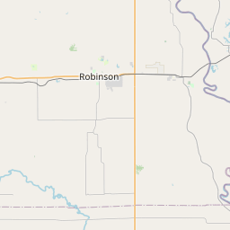
List of places near to Olney
| Name | Distance |
|---|---|
| Olney (Township) | 2.28 Km / 1.42 Miles |
| Preston | 8.71 Km / 5.41 Miles |
| Calhoun | 9.66 Km / 6.00 Miles |
| Claremont | 9.96 Km / 6.19 Miles |
| Claremont (Township) | 10.16 Km / 6.31 Miles |
| Noble (Township) | 11.39 Km / 7.08 Miles |
| German | 12.37 Km / 7.69 Miles |
| Noble | 12.56 Km / 7.80 Miles |
| Madison | 12.85 Km / 7.98 Miles |
| Denver | 13.00 Km / 8.08 Miles |
| Decker | 15.42 Km / 9.58 Miles |
| Bonpas | 15.60 Km / 9.69 Miles |
| Parkersburg | 15.89 Km / 9.87 Miles |
| Fox | 18.93 Km / 11.76 Miles |
| Sumner | 19.48 Km / 12.10 Miles |
| Christy | 20.24 Km / 12.58 Miles |
| Ste. Marie (Township) | 20.34 Km / 12.64 Miles |
| Pixley | 20.76 Km / 12.90 Miles |
| Clay City (Township) | 21.37 Km / 13.28 Miles |
| Smallwood | 21.51 Km / 13.37 Miles |
| Petty | 22.38 Km / 13.91 Miles |
| Ste. Marie | 22.70 Km / 14.11 Miles |
| Mount Erie (Township) | 23.43 Km / 14.56 Miles |
| Southwest | 23.78 Km / 14.78 Miles |
| Clay City | 23.80 Km / 14.79 Miles |
| Sailor Springs | 24.37 Km / 15.14 Miles |
| West Salem | 24.38 Km / 15.15 Miles |