Oroville Map, Satellite view of Oroville, Washington
Oroville is a city located in Okanogan County, Washington, USA.
Location informations of Oroville
Latitude of city of Oroville is 48.93905 and longitude of city of Oroville is -119.43562- What Country is Oroville In? Oroville is located in the United States of America.
- What State is Oroville located in? Oroville is located in Washington.
- What County is Oroville In? The County of Oroville is Okanogan County
Oroville, Washington (WA), USA Geographic Information
| Country | United States |
| Country Code | US |
| State Name | Washington |
| Latitude | 48.93905 |
| Longitude | -119.43562 |
| DMS Lat | 48°56'20.58" N |
| DMS Long | 119°26'8.232" W |
| DMS coordinates : | 48°56'20.58" N 119°26'8.232" W |
Current Date and Time in Oroville, Washington, USA
| Oroville Time Zone : America/Los_Angeles |
What day is it in Oroville right now?Friday (May 30, 2025) |
What time is it?Current local time and date at Oroville is 5/30/2025 - 1:23:05 AM |
Postcode / zip code of Oroville
Oroville is the actual or alternate city name associated with 1 ZIP Codes by the US Postal Service.
List of all postal codes in Oroville, Washington, United States.
98844 Zip Code
Online Map of Oroville - road map, satellite view and street view
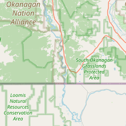
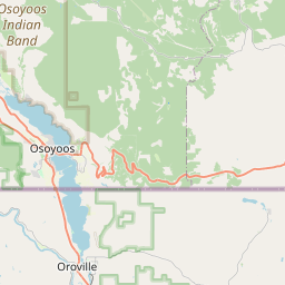
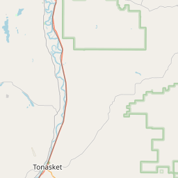
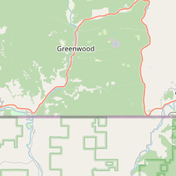


Check out our interactive map of Oroville, Washington and you'll easily find your way around the Oroville major roads and highways.
Satellite Map of Oroville, WA, USA
This is online map of the address Oroville, WA, United States. You may use button to move and zoom in / out. The map information is for reference only.
Dorothy Scott Airport (2.81 Km / 1.75 Miles)
US Border Patrol Oroville Heliport (5.65 Km / 3.51 Miles)
Dickson Field (11.21 Km / 6.96 Miles)
Fowler Field (23.12 Km / 14.37 Miles)
Tonasket Municipal Airport (23.92 Km / 14.86 Miles)
Whitestone Airport (24.16 Km / 15.01 Miles)
Oroville Middle-High School (563 m / 0.35 Miles)
Oroville Elementary (732 m / 0.45 Miles)