Reading Map, Satellite view of Reading, Kansas
Reading is a city located in Lyon County, Kansas, USA.
Location informations of Reading
Latitude of city of Reading is 38.51946 and longitude of city of Reading is -95.95860- What Country is Reading In? Reading is located in the United States of America.
- What State is Reading located in? Reading is located in Kansas.
- What County is Reading In? The County of Reading is Lyon County
Reading, Kansas (KS), USA Geographic Information
| Country | United States |
| Country Code | US |
| State Name | Kansas |
| Latitude | 38.51946 |
| Longitude | -95.9586 |
| DMS Lat | 38°31'10.056" N |
| DMS Long | 95°57'30.96" W |
| DMS coordinates : | 38°31'10.056" N 95°57'30.96" W |
Current Date and Time in Reading, Kansas, USA
| Reading Time Zone : America/Chicago |
What day is it in Reading right now?Saturday (May 17, 2025) |
What time is it?Current local time and date at Reading is 14:44:28 (05/17/2025) : (America/Chicago) |
Postcode / zip code of Reading
Reading is the actual or alternate city name associated with 1 ZIP Codes by the US Postal Service.
List of all postal codes in Reading, Kansas, United States.
66868 Zip Code
Online Map of Reading - road map, satellite view and street view
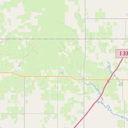
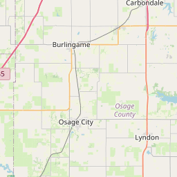
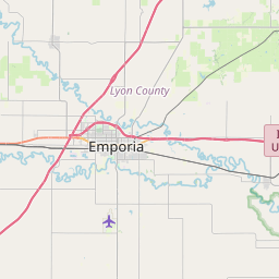
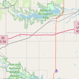
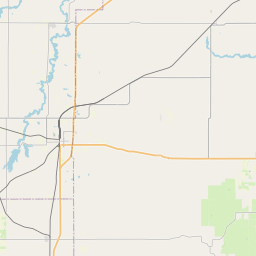
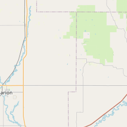
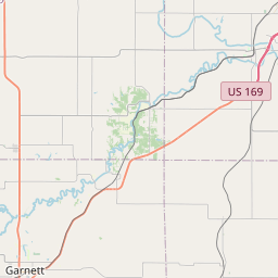

Check out our interactive map of Reading, Kansas and you'll easily find your way around the Reading major roads and highways.
Satellite Map of Reading, KS, USA
This is online map of the address Reading, KS, United States. You may use button to move and zoom in / out. The map information is for reference only.
J V Ranch Airport (12.99 Km / 8.07 Miles)
Dickson /Private/ Airport (14.30 Km / 8.88 Miles)
Sickler Airstrip (15.00 Km / 9.32 Miles)
Osage City Municipal Airport (18.62 Km / 11.57 Miles)
Mary's Place Airport (22.24 Km / 13.82 Miles)
Newman Regional Health Heliport (23.92 Km / 14.86 Miles)
Tevis Airport (24.55 Km / 15.26 Miles)
Reading School (171 m / 0.11 Miles)
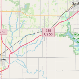
List of places near to Reading
| Name | Distance |
|---|---|
| Reading (Township) | 5.40 Km / 3.36 Miles |
| Barclay | 9.43 Km / 5.86 Miles |
| Arvonia | 9.43 Km / 5.86 Miles |
| Jackson | 14.61 Km / 9.08 Miles |
| Lebo | 14.67 Km / 9.12 Miles |
| Neosho Rapids | 16.93 Km / 10.52 Miles |
| Osage City | 17.18 Km / 10.68 Miles |
| Ivy | 17.21 Km / 10.69 Miles |
| Grant | 17.53 Km / 10.89 Miles |
| Fremont | 17.62 Km / 10.95 Miles |
| Admire | 18.46 Km / 11.47 Miles |
| Olivet | 18.52 Km / 11.51 Miles |
| Lincoln | 19.09 Km / 11.86 Miles |
| Waterloo | 19.27 Km / 11.97 Miles |
| Olivet (Township) | 19.77 Km / 12.28 Miles |
| Superior | 21.27 Km / 13.22 Miles |
| Key West | 22.86 Km / 14.20 Miles |
| Emporia | 23.29 Km / 14.47 Miles |
| Hartford | 23.48 Km / 14.59 Miles |
| Allen | 23.82 Km / 14.80 Miles |
| Dragoon | 24.32 Km / 15.11 Miles |
| Emporia (Township) | 24.77 Km / 15.39 Miles |