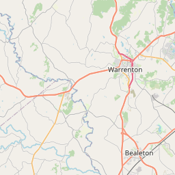
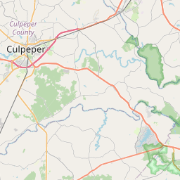
Remington Map, Satellite view of Remington, Virginia
Remington is a town located in Fauquier County, Virginia, USA.
Location informations of Remington
Latitude of city of Remington is 38.53374 and longitude of city of Remington is -77.80833- What Country is Remington In? Remington is located in the United States of America.
- What State is Remington located in? Remington is located in Virginia.
- What County is Remington In? The County of Remington is Fauquier County
Remington, Virginia (VA), USA Geographic Information
| Country | United States |
| Country Code | US |
| State Name | Virginia |
| Latitude | 38.53374 |
| Longitude | -77.80833 |
| DMS Lat | 38°32'1.464" N |
| DMS Long | 77°48'29.988" W |
| DMS coordinates : | 38°32'1.464" N 77°48'29.988" W |
Current Date and Time in Remington, Virginia, USA
| Remington Time Zone : America/New_York |
What day is it in Remington right now?Tuesday (September 2, 2025) |
What time is it?Current local time and date at Remington is 9/2/2025 - 1:04:57 PM |
Postcode / zip code of Remington
Remington is the actual or alternate city name associated with 1 ZIP Codes by the US Postal Service.
List of all postal codes in Remington, Virginia, United States.
22734 Zip Code
Online Map of Remington - road map, satellite view and street view


Check out our interactive map of Remington, Virginia and you'll easily find your way around the Remington major roads and highways.
Satellite Map of Remington, VA, USA
This is online map of the address Remington, VA, United States. You may use button to move and zoom in / out. The map information is for reference only.
Rular Airport (1.83 Km / 1.14 Miles)
Culpeper Regional Airport (4.47 Km / 2.78 Miles)
Rhynalds Ranch Airport (6.06 Km / 3.76 Miles)
Flying Circus Aerodrome (8.32 Km / 5.17 Miles)
Aviacres Airport (10.25 Km / 6.37 Miles)
Warrenton Fauquier Airport (10.31 Km / 6.41 Miles)
Pleasantdale Field (10.48 Km / 6.51 Miles)
Rambo Airfield (10.66 Km / 6.62 Miles)
Stevensburg Airport (11.64 Km / 7.23 Miles)
The Greenhouse Airport (11.70 Km / 7.27 Miles)
Homeland Airport (11.73 Km / 7.29 Miles)
Horse Feathers Airport (11.99 Km / 7.45 Miles)
Berryvale Airport (12.90 Km / 8.02 Miles)
Warrenton Air Park (13.69 Km / 8.50 Miles)
Walnut Hill Airport (15.67 Km / 9.74 Miles)
Hartwood Airport (17.87 Km / 11.10 Miles)
Fauquier Hospital Emergency Transport Heliport (19.77 Km / 12.28 Miles)
Novant Health UVA Culpeper Medical Center Heliport (19.97 Km / 12.41 Miles)
Beaver Lodge Estate Heliport (20.48 Km / 12.73 Miles)
Maples Field (21.02 Km / 13.06 Miles)
MARGARET M. PIERCE ELEM (565 m / 0.35 Miles)