Saline Map, Satellite view of Saline, North Dakota
Saline is a township located in McHenry County, North Dakota, USA.
Location informations of Saline
Latitude of city of Saline is 48.42225 and longitude of city of Saline is -100.87479- What Country is Saline In? Saline is located in the United States of America.
- What State is Saline located in? Saline is located in North Dakota.
- What County is Saline In? The County of Saline is McHenry County
Saline, North Dakota (ND), USA Geographic Information
| Country | United States |
| Country Code | US |
| State Name | North Dakota |
| Latitude | 48.42225 |
| Longitude | -100.87479 |
| DMS Lat | 48°25'20.1" N |
| DMS Long | 100°52'29.244" W |
| DMS coordinates : | 48°25'20.1" N 100°52'29.244" W |
Current Date and Time in Saline, North Dakota, USA
| Saline Time Zone : America/Chicago |
What day is it in Saline right now?Monday (June 9, 2025) |
What time is it?Current local time and date at Saline is 6/9/2025 - 10:41:11 AM |
Postcode / zip code of Saline
Saline is the actual or alternate city name associated with 3 ZIP Codes by the US Postal Service.
List of all postal codes in Saline, North Dakota, United States.
58731 Zip Code 58741 Zip Code 58789 Zip Code
Online Map of Saline - road map, satellite view and street view
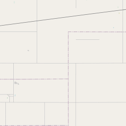
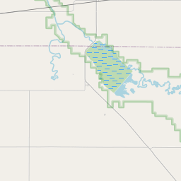
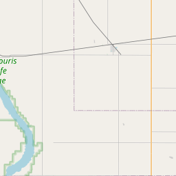
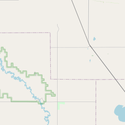
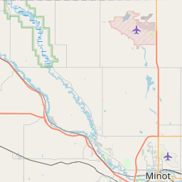
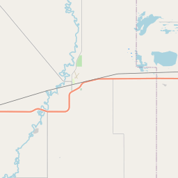
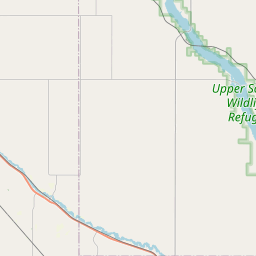
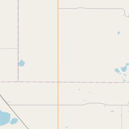
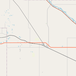
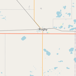

Check out our interactive map of Saline, North Dakota and you'll easily find your way around the Saline major roads and highways.
Satellite Map of Saline, ND, USA
This is online map of the address Saline, ND, United States. You may use button to move and zoom in / out. The map information is for reference only.
Millers Airstrip (13.11 Km / 8.15 Miles)
Pfau Private Airport (15.76 Km / 9.79 Miles)
Rosenau Airport (17.85 Km / 11.09 Miles)
Welstad Farms Airstrip (18.25 Km / 11.34 Miles)
Holen Aerial Spray Airstrip (18.43 Km / 11.45 Miles)
Marsh Brothers Airstrip (23.18 Km / 14.40 Miles)
Deep River Seaplane Base (23.30 Km / 14.48 Miles)
List of places near to Saline
| Name | Distance |
|---|---|
| Deering (Township) | 8.21 Km / 5.10 Miles |
| Little Deep | 9.83 Km / 6.11 Miles |
| Egg Creek | 10.87 Km / 6.75 Miles |
| Gilmore | 11.26 Km / 7.00 Miles |
| Kottke Valley | 11.93 Km / 7.41 Miles |
| Grilley | 12.64 Km / 7.85 Miles |
| Deering | 13.40 Km / 8.33 Miles |
| Layton | 13.95 Km / 8.67 Miles |
| Maryland | 17.19 Km / 10.68 Miles |
| Granville | 17.34 Km / 10.77 Miles |
| Margaret | 17.75 Km / 11.03 Miles |
| Riga | 17.83 Km / 11.08 Miles |
| Prescott | 19.41 Km / 12.06 Miles |
| Deep River | 19.45 Km / 12.09 Miles |
| Pratt | 19.48 Km / 12.10 Miles |
| Upham | 20.76 Km / 12.90 Miles |
| Wagar | 20.86 Km / 12.96 Miles |
| Norwich | 21.00 Km / 13.05 Miles |
| Bantry | 21.25 Km / 13.20 Miles |
| Granville (Township) | 21.48 Km / 13.35 Miles |
| Meadow | 22.19 Km / 13.79 Miles |
| Bantry (Township) | 22.96 Km / 14.27 Miles |
| Rose Hill | 24.44 Km / 15.19 Miles |