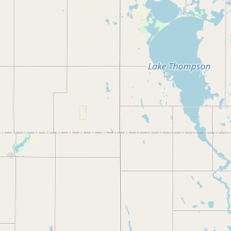
Silver Creek Map, Satellite view of Silver Creek, South Dakota
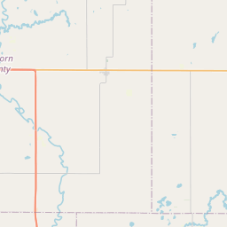
Silver Creek is a township located in Sanborn County, South Dakota, USA.
Location informations of Silver Creek
Latitude of city of Silver Creek is 44.06559 and longitude of city of Silver Creek is -98.14630- What Country is Silver Creek In? Silver Creek is located in the United States of America.
- What State is Silver Creek located in? Silver Creek is located in South Dakota.
- What County is Silver Creek In? The County of Silver Creek is Sanborn County
Silver Creek, South Dakota (SD), USA Geographic Information
| Country | United States |
| Country Code | US |
| State Name | South Dakota |
| Latitude | 44.06559 |
| Longitude | -98.1463 |
| DMS Lat | 44°3'56.124" N |
| DMS Long | 98°8'46.68" W |
| DMS coordinates : | 44°3'56.124" N 98°8'46.68" W |
Current Date and Time in Silver Creek, South Dakota, USA
| Silver Creek Time Zone : America/Chicago |
What day is it in Silver Creek right now?Tuesday (March 25, 2025) |
What time is it?Current local time and date at Silver Creek is 04:21:35 (03/25/2025) : (America/Chicago) |
Postcode / zip code of Silver Creek
Silver Creek is the actual or alternate city name associated with 2 ZIP Codes by the US Postal Service.
List of all postal codes in Silver Creek, South Dakota, United States.
57314 Zip Code 57385 Zip Code
Area Codes Silver Creek, South Dakota, USA
Silver Creek, South Dakota covers 1 Area Codes
605 Area CodeOnline Map of Silver Creek - road map, satellite view and street view

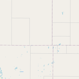
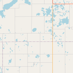

Leaflet | © OpenStreetMap contributors
Check out our interactive map of Silver Creek, South Dakota and you'll easily find your way around the Silver Creek major roads and highways.
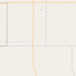
Satellite Map of Silver Creek, SD, USA
This is online map of the address Silver Creek, SD, United States. You may use button to move and zoom in / out. The map information is for reference only.
Search distance between two cities
Mj Aviation I Airport (18.70 Km / 11.62 Miles)
Ingle Airport (20.84 Km / 12.95 Miles)
Marone Airport (22.36 Km / 13.89 Miles)
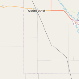
Cities or Towns near Silver Creek
List of places near to Silver Creek
| Name | Distance |
|---|---|
| Forestburg | 5.71 Km / 3.55 Miles |
| Oneida | 9.39 Km / 5.83 Miles |
| Logan | 10.00 Km / 6.21 Miles |
| Jackson | 10.26 Km / 6.38 Miles |
| Woonsocket | 10.42 Km / 6.47 Miles |
| Woonsocket (Township) | 10.66 Km / 6.62 Miles |
| Warren | 13.01 Km / 8.08 Miles |
| Floyd | 13.03 Km / 8.10 Miles |
| Union | 13.04 Km / 8.10 Miles |
| Twin Lake | 13.77 Km / 8.56 Miles |
| Letcher | 18.73 Km / 11.64 Miles |
| Benedict | 18.82 Km / 11.69 Miles |
| Franklin | 18.96 Km / 11.78 Miles |
| Artesian | 19.08 Km / 11.86 Miles |
| Clifton | 19.38 Km / 12.04 Miles |
| Letcher (Township) | 19.82 Km / 12.32 Miles |
| Grant | 20.88 Km / 12.97 Miles |
| Butler | 21.14 Km / 13.14 Miles |
| Afton | 21.23 Km / 13.19 Miles |
| Pearl Creek | 21.25 Km / 13.20 Miles |
| Elliott | 21.48 Km / 13.35 Miles |
| Blaine | 21.68 Km / 13.47 Miles |
| Alpena | 21.73 Km / 13.50 Miles |
| Diana | 22.11 Km / 13.74 Miles |
| Lane | 22.28 Km / 13.84 Miles |
| Alpena (Township) | 22.56 Km / 14.02 Miles |