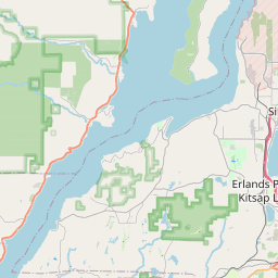
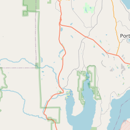
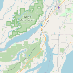
Silverdale Map, Satellite view of Silverdale, Washington
Silverdale is a census-designated place (CDP) located in Kitsap County, Washington, USA.
Location informations of Silverdale
Latitude of city of Silverdale is 47.64454 and longitude of city of Silverdale is -122.69487- What Country is Silverdale In? Silverdale is located in the United States of America.
- What State is Silverdale located in? Silverdale is located in Washington.
- What County is Silverdale In? The County of Silverdale is Kitsap County
Silverdale, Washington (WA), USA Geographic Information
| Country | United States |
| Country Code | US |
| State Name | Washington |
| Latitude | 47.64454 |
| Longitude | -122.69487 |
| DMS Lat | 47°38'40.344" N |
| DMS Long | 122°41'41.532" W |
| DMS coordinates : | 47°38'40.344" N 122°41'41.532" W |
Current Date and Time in Silverdale, Washington, USA
| Silverdale Time Zone : America/Los_Angeles |
What day is it in Silverdale right now?Monday (June 2, 2025) |
What time is it?Current local time and date at Silverdale is 00:36:07 (06/02/2025) : (America/Los_Angeles) |
Postcode / zip code of Silverdale
Silverdale is the actual or alternate city name associated with 3 ZIP Codes by the US Postal Service.
List of all postal codes in Silverdale, Washington, United States.
98311 Zip Code 98370 Zip Code 98383 Zip Code
Online Map of Silverdale - road map, satellite view and street view


Check out our interactive map of Silverdale, Washington and you'll easily find your way around the Silverdale major roads and highways.
Satellite Map of Silverdale, WA, USA
This is online map of the address Silverdale, WA, United States. You may use button to move and zoom in / out. The map information is for reference only.
Harrison Silverdale EMS Helistop (1.79 Km / 1.11 Miles)
St Michael Medical Center Helipad (2.02 Km / 1.26 Miles)
Apex Airpark (3.16 Km / 1.97 Miles)
Naval Hospital Bremerton Heliport (5.69 Km / 3.53 Miles)
Naval Submarine Base Bangor Heliport (6.74 Km / 4.18 Miles)
Leisureland Airpark (7.22 Km / 4.49 Miles)
St Michael Medical Center Bremerton Heliport (8.69 Km / 5.40 Miles)
Washington National Guard Sinclair HGTS Heliport (10.12 Km / 6.29 Miles)
Port of Poulsbo Marina Moorage Seaplane Base (10.57 Km / 6.57 Miles)
Bainbridge Island Fire Department Heliport (12.99 Km / 8.07 Miles)
Manchester Laboratory Heliport (13.50 Km / 8.39 Miles)
Haley Heliport (14.60 Km / 9.07 Miles)
Cormorant Heliport (17.27 Km / 10.73 Miles)
Bremerton National Airport (17.95 Km / 11.15 Miles)
Thompson Airport (21.08 Km / 13.10 Miles)
Vaughan Ranch Airfield (22.11 Km / 13.74 Miles)
Port Orchard Airport (23.69 Km / 14.72 Miles)
Central Kitsap High School (839 m / 0.52 Miles)
Central Kitsap Middle School (1.32 Km / 0.82 Miles)
Silverdale Elementary (1.70 Km / 1.06 Miles)
Ridgetop Middle School (2.52 Km / 1.57 Miles)
Silver Ridge Elementary (2.61 Km / 1.62 Miles)
Olympic High School (3.06 Km / 1.90 Miles)
Fairview Middle School (3.36 Km / 2.09 Miles)
Cottonwood Elementary School (3.66 Km / 2.27 Miles)
Woodlands Elementary (3.89 Km / 2.42 Miles)
Emerald Heights Elementary (4.04 Km / 2.51 Miles)
Clear Creek Elementary School (4.39 Km / 2.73 Miles)
Klahowya Secondary (4.78 Km / 2.97 Miles)
Cougar Valley Elementary (4.86 Km / 3.02 Miles)
List of places near to Silverdale
| Name | Distance |
|---|---|
| Chico | 3.86 Km / 2.40 Miles |
| Tracyton | 4.95 Km / 3.08 Miles |
| Erlands Point-Kitsap Lake | 5.27 Km / 3.27 Miles |
| Rocky Point | 6.08 Km / 3.78 Miles |
| Keyport | 8.46 Km / 5.26 Miles |
| Bangor Base | 8.76 Km / 5.44 Miles |
| Bremerton | 9.77 Km / 6.07 Miles |
| Enetai | 9.80 Km / 6.09 Miles |
| Seabeck | 10.03 Km / 6.23 Miles |
| Navy Yard City | 10.38 Km / 6.45 Miles |
| Poulsbo | 10.79 Km / 6.70 Miles |
| Port Orchard | 12.39 Km / 7.70 Miles |
| Bainbridge Island | 13.17 Km / 8.18 Miles |
| Gorst | 13.27 Km / 8.25 Miles |
| Parkwood | 13.92 Km / 8.65 Miles |
| Suquamish | 14.38 Km / 8.94 Miles |
| East Port Orchard | 14.47 Km / 8.99 Miles |
| Manchester | 14.95 Km / 9.29 Miles |
| Brinnon | 15.71 Km / 9.76 Miles |
| Indianola | 17.04 Km / 10.59 Miles |
| Bethel | 17.41 Km / 10.82 Miles |
| Lofall | 18.83 Km / 11.70 Miles |
| Southworth | 20.66 Km / 12.84 Miles |
| Kingston | 22.59 Km / 14.04 Miles |
| Belfair | 23.74 Km / 14.75 Miles |
| Quilcene | 23.95 Km / 14.88 Miles |
| Port Gamble Tribal Community | 24.66 Km / 15.32 Miles |