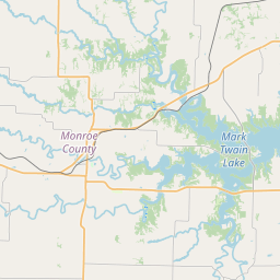
Stoutsville Map, Satellite view of Stoutsville, Missouri
Stoutsville is a village located in Monroe County, Missouri, USA.
Location informations of Stoutsville
Latitude of city of Stoutsville is 39.54726 and longitude of city of Stoutsville is -91.85850- What Country is Stoutsville In? Stoutsville is located in the United States of America.
- What State is Stoutsville located in? Stoutsville is located in Missouri.
- What County is Stoutsville In? The County of Stoutsville is Monroe County
Stoutsville, Missouri (MO), USA Geographic Information
| Country | United States |
| Country Code | US |
| State Name | Missouri |
| Latitude | 39.54726 |
| Longitude | -91.8585 |
| DMS Lat | 39°32'50.136" N |
| DMS Long | 91°51'30.6" W |
| DMS coordinates : | 39°32'50.136" N 91°51'30.6" W |
Current Date and Time in Stoutsville, Missouri, USA
| Stoutsville Time Zone : America/Chicago |
What day is it in Stoutsville right now?Wednesday (April 30, 2025) |
What time is it?Current local time and date at Stoutsville is 4/30/2025 - 1:53:45 AM |
Postcode / zip code of Stoutsville
Stoutsville is the actual or alternate city name associated with 1 ZIP Codes by the US Postal Service.
List of all postal codes in Stoutsville, Missouri, United States.
65283 Zip Code
Online Map of Stoutsville - road map, satellite view and street view
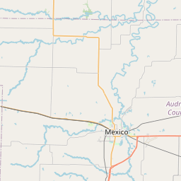
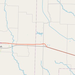
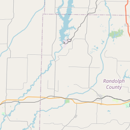

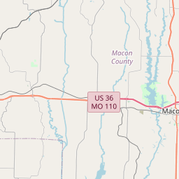
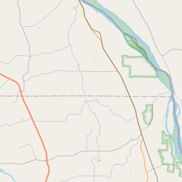

Check out our interactive map of Stoutsville, Missouri and you'll easily find your way around the Stoutsville major roads and highways.
Satellite Map of Stoutsville, MO, USA
This is online map of the address Stoutsville, MO, United States. You may use button to move and zoom in / out. The map information is for reference only.
Samuel L. Clemens Memorial Airport (13.95 Km / 8.67 Miles)
Cpt Ben Smith Airfield - Monroe City Airport (14.86 Km / 9.23 Miles)
Wood Acres Airport (15.24 Km / 9.47 Miles)
Lake Village Airport (16.17 Km / 10.05 Miles)
Lyell Airport (17.88 Km / 11.11 Miles)
Brazeale Farm Airport (19.23 Km / 11.95 Miles)
Carl Ensor Airport (20.60 Km / 12.80 Miles)
Gough Airport (22.32 Km / 13.87 Miles)