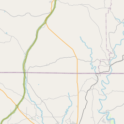
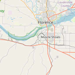
Underwood-Petersville Map, Satellite view of Underwood-Petersville, Alabama
Underwood-Petersville is a census-designated place (CDP) located in Lauderdale County, Alabama, USA.
Location informations of Underwood-Petersville
Latitude of city of Underwood-Petersville is 34.87611 and longitude of city of Underwood-Petersville is -87.69816- What Country is Underwood-Petersville In? Underwood-Petersville is located in the United States of America.
- What State is Underwood-Petersville located in? Underwood-Petersville is located in Alabama.
- What County is Underwood-Petersville In? The County of Underwood-Petersville is Lauderdale County
Underwood-Petersville, Alabama (AL), USA Geographic Information
| Country | United States |
| Country Code | US |
| State Name | Alabama |
| Latitude | 34.87611 |
| Longitude | -87.69816 |
| DMS Lat | 34°52'33.996" N |
| DMS Long | 87°41'53.376" W |
| DMS coordinates : | 34°52'33.996" N 87°41'53.376" W |
Current Date and Time in Underwood-Petersville, Alabama, USA
| Underwood-Petersville Time Zone : America/Chicago |
What day is it in Underwood-Petersville right now?Friday (June 13, 2025) |
What time is it?Current local time and date at Underwood-Petersville is 13:56:37 (06/13/2025) : (America/Chicago) |
Postcode / zip code of Underwood-Petersville
Underwood-Petersville is the actual or alternate city name associated with 2 ZIP Codes by the US Postal Service.
List of all postal codes in Underwood-Petersville, Alabama, United States.
35630 Zip Code 35633 Zip Code
Area Codes Underwood-Petersville, Alabama, USA
Underwood-Petersville, Alabama covers 1 Area Codes
256 Area CodeOnline Map of Underwood-Petersville - road map, satellite view and street view


Check out our interactive map of Underwood-Petersville, Alabama and you'll easily find your way around the Underwood-Petersville major roads and highways.
Satellite Map of Underwood-Petersville, AL, USA
This is online map of the address Underwood-Petersville, AL, United States. You may use button to move and zoom in / out. The map information is for reference only.
Wilson Creek Airport (6.66 Km / 4.14 Miles)
North Alabama Medical Center Heliport (8.91 Km / 5.54 Miles)
Eliza Coffee Memorial Hospital Heliport (9.26 Km / 5.75 Miles)
Shoals Creek Seaplane Base (10.54 Km / 6.55 Miles)
Humana Hospital Shoals Heliport (14.58 Km / 9.06 Miles)
Northwest Alabama Regional Airport (16.61 Km / 10.32 Miles)
TGP Station 555 Heliport (17.44 Km / 10.83 Miles)
Big River Airpark (20.98 Km / 13.04 Miles)
Air Evac 16 Heliport (23.50 Km / 14.60 Miles)
Underwood Elementary School (441 m / 0.27 Miles)
Forest Hills School (3.67 Km / 2.28 Miles)
Heritage Christian University (3.90 Km / 2.42 Miles)
List of places near to Underwood-Petersville
| Name | Distance |
|---|---|
| St. Florian | 6.83 Km / 4.24 Miles |
| Florence | 8.70 Km / 5.41 Miles |
| Sheffield | 12.34 Km / 7.67 Miles |
| Killen | 14.73 Km / 9.15 Miles |
| Muscle Shoals | 14.87 Km / 9.24 Miles |
| Tuscumbia | 16.12 Km / 10.02 Miles |
| Iron City | 19.58 Km / 12.17 Miles |
| Leighton | 24.87 Km / 15.45 Miles |
| St. Joseph | 24.93 Km / 15.49 Miles |