Wauregan Map, Satellite view of Wauregan, Connecticut
Wauregan is a census-designated place (CDP) located in Windham County, Connecticut, USA.
Location informations of Wauregan
Latitude of city of Wauregan is 41.74427 and longitude of city of Wauregan is -71.90924- What Country is Wauregan In? Wauregan is located in the United States of America.
- What State is Wauregan located in? Wauregan is located in Connecticut.
- What County is Wauregan In? The County of Wauregan is Windham County
Wauregan, Connecticut (CT), USA Geographic Information
| Country | United States |
| Country Code | US |
| State Name | Connecticut |
| Latitude | 41.74427 |
| Longitude | -71.90924 |
| DMS Lat | 41°44'39.372" N |
| DMS Long | 71°54'33.264" W |
| DMS coordinates : | 41°44'39.372" N 71°54'33.264" W |
Current Date and Time in Wauregan, Connecticut, USA
| Wauregan Time Zone : America/New_York |
What day is it in Wauregan right now?Saturday (May 24, 2025) |
What time is it?Current local time and date at Wauregan is 18:43:47 (05/24/2025) : (America/New_York) |
Postcode / zip code of Wauregan
Wauregan is the actual or alternate city name associated with 3 ZIP Codes by the US Postal Service.
List of all postal codes in Wauregan, Connecticut, United States.
06239 Zip Code 06374 Zip Code 06387 Zip Code
Online Map of Wauregan - road map, satellite view and street view
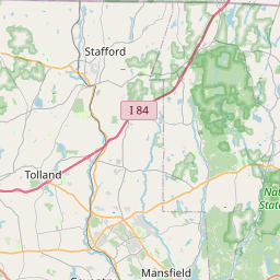
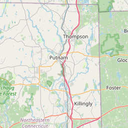
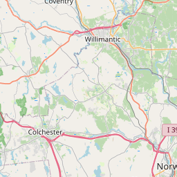
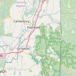
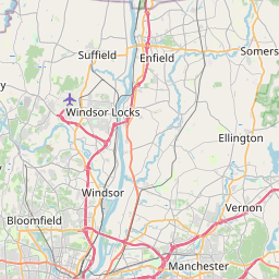


Check out our interactive map of Wauregan, Connecticut and you'll easily find your way around the Wauregan major roads and highways.
Satellite Map of Wauregan, CT, USA
This is online map of the address Wauregan, CT, United States. You may use button to move and zoom in / out. The map information is for reference only.
Wauregan Heliport (2.06 Km / 1.28 Miles)
Flat Rock Farm Heliport (8.03 Km / 4.99 Miles)
Danielson Airport (8.42 Km / 5.23 Miles)
Riconn Airport (11.68 Km / 7.26 Miles)
Quiet Corner Heliport (12.39 Km / 7.70 Miles)
Spruce Airport (16.84 Km / 10.46 Miles)
Yankee Airstrip (17.29 Km / 10.74 Miles)
Bee Field (18.67 Km / 11.60 Miles)
Woodstock Airport (20.04 Km / 12.45 Miles)
Windham Airport (22.49 Km / 13.97 Miles)
Eastford Airport (22.68 Km / 14.09 Miles)
Keskinen Balloonport (23.20 Km / 14.41 Miles)
Nasin Heliport (23.53 Km / 14.62 Miles)
Gallup Farm Airport (24.04 Km / 14.94 Miles)
Shepard Hill Elementary School (1.18 Km / 0.74 Miles)
Plainfield High School (1.46 Km / 0.91 Miles)
Moosup Elementary School (3.91 Km / 2.43 Miles)
List of places near to Wauregan
| Name | Distance |
|---|---|
| Moosup | 4.21 Km / 2.62 Miles |
| Plainfield | 5.31 Km / 3.30 Miles |
| East Brooklyn | 5.92 Km / 3.68 Miles |
| Brooklyn (CDP) | 5.93 Km / 3.68 Miles |
| Brooklyn | 6.23 Km / 3.87 Miles |
| Danielson | 6.77 Km / 4.21 Miles |
| Plainfield Village | 7.79 Km / 4.84 Miles |
| Sterling | 9.10 Km / 5.65 Miles |
| Canterbury | 10.00 Km / 6.21 Miles |
| Killingly | 10.75 Km / 6.68 Miles |
| Hampton | 13.58 Km / 8.44 Miles |
| Pomfret | 14.72 Km / 9.15 Miles |
| Greene | 14.79 Km / 9.19 Miles |
| Foster | 15.28 Km / 9.49 Miles |
| Foster Center | 16.38 Km / 10.18 Miles |
| Jewett City | 16.41 Km / 10.20 Miles |
| Scotland | 16.83 Km / 10.46 Miles |
| Griswold | 17.76 Km / 11.04 Miles |
| Lisbon | 17.91 Km / 11.13 Miles |
| Sprague | 18.48 Km / 11.48 Miles |
| Putnam | 18.49 Km / 11.49 Miles |
| Chaplin | 18.99 Km / 11.80 Miles |
| Putnam (CDP) | 19.00 Km / 11.81 Miles |
| Voluntown | 19.47 Km / 12.10 Miles |
| Clayville | 19.73 Km / 12.26 Miles |
| Baltic | 20.30 Km / 12.61 Miles |
| Coventry | 21.49 Km / 13.35 Miles |
| Windham | 21.78 Km / 13.53 Miles |
| South Woodstock | 22.05 Km / 13.70 Miles |
| Eastford | 22.71 Km / 14.11 Miles |
| South Windham | 22.84 Km / 14.19 Miles |
| Franklin | 23.72 Km / 14.74 Miles |
| Mansfield Center | 24.08 Km / 14.96 Miles |
| Scituate | 24.19 Km / 15.03 Miles |
| West Greenwich | 24.45 Km / 15.19 Miles |
| Glocester | 24.86 Km / 15.45 Miles |