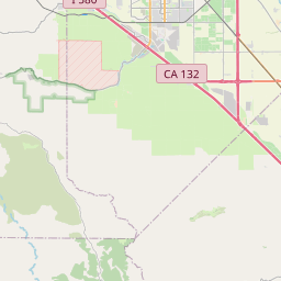
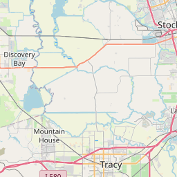
Westley Map, Satellite view of Westley, California
Westley is a census-designated place (CDP) located in Stanislaus County, California, USA.
Location informations of Westley
Latitude of city of Westley is 37.54938 and longitude of city of Westley is -121.19910- What Country is Westley In? Westley is located in the United States of America.
- What State is Westley located in? Westley is located in California.
- What County is Westley In? The County of Westley is Stanislaus County
Westley, California (CA), USA Geographic Information
| Country | United States |
| Country Code | US |
| State Name | California |
| Latitude | 37.54938 |
| Longitude | -121.1991 |
| DMS Lat | 37°32'57.768" N |
| DMS Long | 121°11'56.76" W |
| DMS coordinates : | 37°32'57.768" N 121°11'56.76" W |
Current Date and Time in Westley, California, USA
| Westley Time Zone : America/Los_Angeles |
What day is it in Westley right now?Sunday (May 25, 2025) |
What time is it?Current local time and date at Westley is 18:21:50 (05/25/2025) : (America/Los_Angeles) |
Postcode / zip code of Westley
Westley is the actual or alternate city name associated with 2 ZIP Codes by the US Postal Service.
List of all postal codes in Westley, California, United States.
95363 Zip Code 95387 Zip Code
Online Map of Westley - road map, satellite view and street view


Check out our interactive map of Westley, California and you'll easily find your way around the Westley major roads and highways.
Satellite Map of Westley, CA, USA
This is online map of the address Westley, CA, United States. You may use button to move and zoom in / out. The map information is for reference only.
Westley Airport (542 m / 0.34 Miles)
Del Mar Farms Airport (3.59 Km / 2.23 Miles)
Flying Bull Airport (8.42 Km / 5.23 Miles)
Patterson Airport (9.37 Km / 5.82 Miles)
Yandell Ranch Airport (10.63 Km / 6.60 Miles)
Naval Auxiliary Air Station Vernalis (11.33 Km / 7.04 Miles)
Mapes Ranch Airport (13.19 Km / 8.20 Miles)
Fulkerth Airport (14.71 Km / 9.14 Miles)
New Jerusalem Airport (16.94 Km / 10.53 Miles)
33 Strip (17.62 Km / 10.95 Miles)
NASA Crows Landing Airport (17.62 Km / 10.95 Miles)
Bud Coffee Field (19.31 Km / 12.00 Miles)
Kaiser Permanente Modesto Heliport (21.84 Km / 13.57 Miles)
Doctors Medical Center Heliport (21.95 Km / 13.64 Miles)
Modesto City Co-Harry Sham Field (23.21 Km / 14.42 Miles)
Skydive California Airport (23.53 Km / 14.62 Miles)
Sutter Health Memorial Medical Center Heliport (24.02 Km / 14.93 Miles)
Grayson Elementary (511 m / 0.32 Miles)
List of places near to Westley
| Name | Distance |
|---|---|
| Grayson | 2.37 Km / 1.47 Miles |
| Patterson | 10.60 Km / 6.59 Miles |
| Riverdale Park | 14.59 Km / 9.07 Miles |
| West Modesto | 16.49 Km / 10.25 Miles |
| Monterey Park Tract | 16.73 Km / 10.40 Miles |
| Diablo Grande | 17.27 Km / 10.73 Miles |
| Bret Harte | 18.13 Km / 11.27 Miles |
| Rouse | 18.53 Km / 11.51 Miles |
| Cowan | 18.58 Km / 11.55 Miles |
| Salida | 20.09 Km / 12.48 Miles |
| Parklawn | 20.40 Km / 12.68 Miles |
| Bystrom | 20.40 Km / 12.68 Miles |
| Modesto | 20.42 Km / 12.69 Miles |
| Crows Landing | 20.64 Km / 12.83 Miles |
| Airport | 21.57 Km / 13.40 Miles |
| Ceres | 21.87 Km / 13.59 Miles |
| Ripon | 22.36 Km / 13.89 Miles |