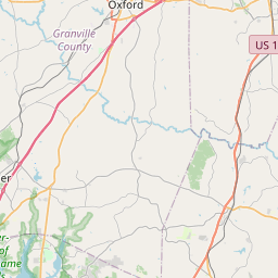
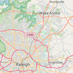
Youngsville Map, Satellite view of Youngsville, North Carolina
Youngsville is a town located in Franklin County, North Carolina, USA.
Location informations of Youngsville
Latitude of city of Youngsville is 36.02487 and longitude of city of Youngsville is -78.47444- What Country is Youngsville In? Youngsville is located in the United States of America.
- What State is Youngsville located in? Youngsville is located in North Carolina.
- What County is Youngsville In? The County of Youngsville is Franklin County
Youngsville, North Carolina (NC), USA Geographic Information
| Country | United States |
| Country Code | US |
| State Name | North Carolina |
| Latitude | 36.02487 |
| Longitude | -78.47444 |
| DMS Lat | 36°1'29.532" N |
| DMS Long | 78°28'27.984" W |
| DMS coordinates : | 36°1'29.532" N 78°28'27.984" W |
Current Date and Time in Youngsville, North Carolina, USA
| Youngsville Time Zone : America/New_York |
What day is it in Youngsville right now?Saturday (June 14, 2025) |
What time is it?Current local time and date at Youngsville is 6/14/2025 - 5:23:49 PM |
Postcode / zip code of Youngsville
Youngsville is the actual or alternate city name associated with 1 ZIP Codes by the US Postal Service.
List of all postal codes in Youngsville, North Carolina, United States.
27596 Zip Code
Area Codes Youngsville, North Carolina, USA
Youngsville, North Carolina covers 1 Area Codes
919 Area CodeOnline Map of Youngsville - road map, satellite view and street view


Check out our interactive map of Youngsville, North Carolina and you'll easily find your way around the Youngsville major roads and highways.
Satellite Map of Youngsville, NC, USA
This is online map of the address Youngsville, NC, United States. You may use button to move and zoom in / out. The map information is for reference only.
Sprint/Midatlantic Telecom Heliport (4.02 Km / 2.49 Miles)
North Raleigh Airport (11.44 Km / 7.11 Miles)
Triangle North Executive Airport (12.96 Km / 8.05 Miles)
Riley Field (15.24 Km / 9.47 Miles)
Wakemed North Hospital Heliport (16.95 Km / 10.53 Miles)
Maria Perham Franklin Hospital Heliport (18.85 Km / 11.71 Miles)
Deer Run Airport (20.00 Km / 12.43 Miles)
Ball Airport (21.15 Km / 13.14 Miles)
Phillip R Bunn Airport (21.37 Km / 13.28 Miles)
Crooked Creek Airport (22.86 Km / 14.20 Miles)
Youngsville Elementary (727 m / 0.45 Miles)
Youngsville Academy (1.25 Km / 0.78 Miles)
Cedar Creek Middle (2.81 Km / 1.74 Miles)
Long Mill Elementary (4.13 Km / 2.56 Miles)
Richland Creek Elementary (4.35 Km / 2.70 Miles)
Envision Science Academy (4.62 Km / 2.87 Miles)
Franklin Academy (4.74 Km / 2.95 Miles)
List of places near to Youngsville
| Name | Distance |
|---|---|
| Wake Forest | 6.78 Km / 4.21 Miles |
| Franklinton | 8.68 Km / 5.39 Miles |
| Rolesville | 11.41 Km / 7.09 Miles |
| Louisburg | 17.63 Km / 10.95 Miles |
| Bunn | 21.10 Km / 13.11 Miles |
| Creedmoor | 21.90 Km / 13.61 Miles |
| Kittrell | 22.18 Km / 13.78 Miles |