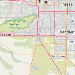
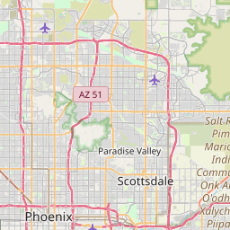
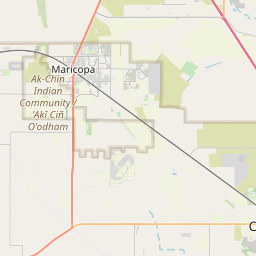
Chandler Map, Satellite view of Chandler, Arizona
Chandler is a city located in Maricopa County, Arizona, USA.
Location informations of Chandler
Latitude of city of Chandler is 33.30616 and longitude of city of Chandler is -111.84125- What Country is Chandler In? Chandler is located in the United States of America.
- What State is Chandler located in? Chandler is located in Arizona.
- What County is Chandler In? The County of Chandler is Maricopa County
Chandler, Arizona (AZ), USA Geographic Information
| Country | United States |
| Country Code | US |
| State Name | Arizona |
| Latitude | 33.30616 |
| Longitude | -111.84125 |
| DMS Lat | 33°18'22.176" N |
| DMS Long | 111°50'28.5" W |
| DMS coordinates : | 33°18'22.176" N 111°50'28.5" W |
Current Date and Time in Chandler, Arizona, USA
| Chandler Time Zone : America/Phoenix |
What day is it in Chandler right now?Sunday (May 18, 2025) |
What time is it?Current local time and date at Chandler is 5/18/2025 - 9:04:50 AM |
Postcode / zip code of Chandler
Chandler is the actual or alternate city name associated with 10 ZIP Codes by the US Postal Service.
List of all postal codes in Chandler, Arizona, United States.
85224 Zip Code 85225 Zip Code 85226 Zip Code 85233 Zip Code 85244 Zip Code 85246 Zip Code 85248 Zip Code 85249 Zip Code 85284 Zip Code 85286 Zip Code
Online Map of Chandler - road map, satellite view and street view


Check out our interactive map of Chandler, Arizona and you'll easily find your way around the Chandler major roads and highways.
Satellite Map of Chandler, AZ, USA
This is online map of the address Chandler, AZ, United States. You may use button to move and zoom in / out. The map information is for reference only.
Chandler Airport (1928) (2.44 Km / 1.51 Miles)
Banner Ocotillo Medical Center Helipad (2.64 Km / 1.64 Miles)
Chandler Regional Hospital Heliport (3.13 Km / 1.94 Miles)
Chandler Airport (1929) (3.86 Km / 2.40 Miles)
Chandler Municipal Airport (4.99 Km / 3.10 Miles)
Gilbert Airport (6.11 Km / 3.80 Miles)
Stellar Airpark (6.98 Km / 4.33 Miles)
Pixley-Richards Gilbert Heliport (7.36 Km / 4.58 Miles)
Maricopa County Sheriff's Office Heliport (8.41 Km / 5.23 Miles)
Mercy Gilbert Medical Center Heliport (8.59 Km / 5.34 Miles)
Santan Generating Station Heliport (8.83 Km / 5.48 Miles)
Jeppesen Ranch Heliport (8.85 Km / 5.50 Miles)
Lone Butte Landing Strip (9.42 Km / 5.85 Miles)
Gila River Memorial Airport (9.65 Km / 6.00 Miles)
Banner Desert Medical Center Heliport (10.14 Km / 6.30 Miles)
Brenteson Incorporated Wholesale Airport (10.67 Km / 6.63 Miles)
Mesquite Groves Landing Strip (11.83 Km / 7.35 Miles)
Ross Airport (11.96 Km / 7.43 Miles)
1st Street/Center Parking Garage Helipad (12.31 Km / 7.65 Miles)
Sanders Airport (12.31 Km / 7.65 Miles)
EVIT - Chandler High School (289 m / 0.18 Miles)
Chandler High School (289 m / 0.18 Miles)
Pathways Learning Center (672 m / 0.42 Miles)
Arizona College Prep Oakland Campus (686 m / 0.43 Miles)
Blueprint High School (1.00 Km / 0.62 Miles)
San Marcos Elementary School (1.11 Km / 0.69 Miles)
Chandler Online Academy (1.13 Km / 0.70 Miles)
Galveston Elementary School (1.18 Km / 0.73 Miles)
Frye Elementary School (1.35 Km / 0.84 Miles)
Hartford Sylvia Encinas Elementary (1.40 Km / 0.87 Miles)
Champion Chandler (1.60 Km / 0.99 Miles)
Arizona College Prep Erie Campus (1.94 Km / 1.20 Miles)
EVIT - Arizona College Prep Erie Campus (1.94 Km / 1.21 Miles)
Willis Junior High School (2.01 Km / 1.25 Miles)
Sanborn Elementary School (2.35 Km / 1.46 Miles)
Knox Gifted Academy (2.35 Km / 1.46 Miles)
Rudy G Bologna Elementary (2.74 Km / 1.71 Miles)
Dr Howard K Conley Elementary School (2.83 Km / 1.76 Miles)
BASIS Chandler Primary - North Campus (2.88 Km / 1.79 Miles)
Intelli-School (2.99 Km / 1.85 Miles)
Studio Academy of Beauty (2.02 Km / 1.26 Miles)
Chandler-Gilbert Community College (4.43 Km / 2.75 Miles)
American InterContinental University (4.61 Km / 2.86 Miles)
Empire Beauty School-Chandler (4.94 Km / 3.07 Miles)
List of places near to Chandler
| Name | Distance |
|---|---|
| Gilbert | 7.10 Km / 4.41 Miles |
| Sun Lakes | 11.03 Km / 6.85 Miles |
| Goodyear Village | 12.44 Km / 7.73 Miles |
| Mesa | 13.03 Km / 8.10 Miles |
| Guadalupe | 13.40 Km / 8.33 Miles |
| Tempe | 13.63 Km / 8.47 Miles |
| Stotonic Village | 17.21 Km / 10.69 Miles |
| Lower Santan Village | 18.90 Km / 11.74 Miles |
| Wet Camp Village | 19.13 Km / 11.89 Miles |
| Sweet Water Village | 20.70 Km / 12.86 Miles |
| Casa Blanca | 21.12 Km / 13.12 Miles |
| Queen Creek | 21.31 Km / 13.24 Miles |
| Sacate Village | 22.45 Km / 13.95 Miles |
| Upper Santan Village | 23.15 Km / 14.38 Miles |
| Scottsdale | 23.21 Km / 14.42 Miles |