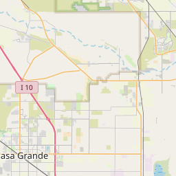
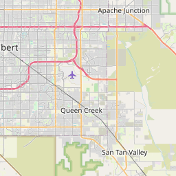
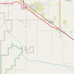
Coolidge Map, Satellite view of Coolidge, Arizona
Coolidge is a city located in Pinal County, Arizona, USA.
Location informations of Coolidge
Latitude of city of Coolidge is 32.97784 and longitude of city of Coolidge is -111.51762- What Country is Coolidge In? Coolidge is located in the United States of America.
- What State is Coolidge located in? Coolidge is located in Arizona.
- What County is Coolidge In? The County of Coolidge is Pinal County
Coolidge, Arizona (AZ), USA Geographic Information
| Country | United States |
| Country Code | US |
| State Name | Arizona |
| Latitude | 32.97784 |
| Longitude | -111.51762 |
| DMS Lat | 32°58'40.224" N |
| DMS Long | 111°31'3.432" W |
| DMS coordinates : | 32°58'40.224" N 111°31'3.432" W |
Current Date and Time in Coolidge, Arizona, USA
| Coolidge Time Zone : America/Phoenix |
What day is it in Coolidge right now?Friday (April 25, 2025) |
What time is it?Current local time and date at Coolidge is 12:24:36 (04/25/2025) : (America/Phoenix) |
Postcode / zip code of Coolidge
Coolidge is the actual or alternate city name associated with 6 ZIP Codes by the US Postal Service.
List of all postal codes in Coolidge, Arizona, United States.
85128 Zip Code 85131 Zip Code 85132 Zip Code 85191 Zip Code 85194 Zip Code 85228 Zip Code
Online Map of Coolidge - road map, satellite view and street view


Check out our interactive map of Coolidge, Arizona and you'll easily find your way around the Coolidge major roads and highways.
Satellite Map of Coolidge, AZ, USA
This is online map of the address Coolidge, AZ, United States. You may use button to move and zoom in / out. The map information is for reference only.
Coolidge Airport (1956) (2.81 Km / 1.74 Miles)
Sarita Airport (5.60 Km / 3.48 Miles)
Valley Farms Airport (6.46 Km / 4.01 Miles)
Randolph Airport (7.42 Km / 4.61 Miles)
Woodruff Airport (8.07 Km / 5.02 Miles)
Coolidge Municipal Airport (9.66 Km / 6.00 Miles)
Central Arizona College Airport (12.10 Km / 7.52 Miles)
Earley Airport (12.92 Km / 8.03 Miles)
Arizona State Prison Florence Heliport (14.49 Km / 9.00 Miles)
Florence State Prison Landing Strip (16.10 Km / 10.01 Miles)
John Walker Landing Strip (16.18 Km / 10.05 Miles)
Florence Military Reservation Airstrip (17.46 Km / 10.85 Miles)
Fye Airstrip (17.70 Km / 11.00 Miles)
McKenzie Airport (18.60 Km / 11.56 Miles)
Magma Farm Landing Strip (19.83 Km / 12.32 Miles)
Eloy Municipal Airport (20.07 Km / 12.47 Miles)
Bella Vista Farms Landing Strip (20.79 Km / 12.92 Miles)
Banner Casa Grande Medical Center Helipad (20.82 Km / 12.94 Miles)
Henness Airport (20.83 Km / 12.94 Miles)
Casa Grande Municipal Airport (23.40 Km / 14.54 Miles)
Barely Bears (624 m / 0.39 Miles)
Coolidge Alternative Program (1.08 Km / 0.67 Miles)
CAVIT - Coolidge High School (1.11 Km / 0.69 Miles)
West Elementary School (1.18 Km / 0.73 Miles)
Coolidge High School (1.30 Km / 0.80 Miles)
McCray Elementary School (1.60 Km / 1.00 Miles)
Coolidge Jr. High School (1.66 Km / 1.03 Miles)
Imagine Coolidge Elementary (2.23 Km / 1.39 Miles)
Imagine Prep Coolidge (2.31 Km / 1.43 Miles)
Heartland Ranch Elementary School (2.82 Km / 1.75 Miles)
CAVIT - Central Arizona Valley Institute of Technology (2.96 Km / 1.84 Miles)
List of places near to Coolidge
| Name | Distance |
|---|---|
| Blackwater | 8.48 Km / 5.27 Miles |
| Florence | 13.53 Km / 8.41 Miles |
| Sacaton Flats Village | 15.78 Km / 9.81 Miles |
| Cactus Forest | 18.56 Km / 11.53 Miles |
| Sacaton | 23.41 Km / 14.55 Miles |
| San Tan Valley | 23.73 Km / 14.75 Miles |
| Casa Grande | 24.90 Km / 15.47 Miles |
| Eloy | 24.92 Km / 15.48 Miles |