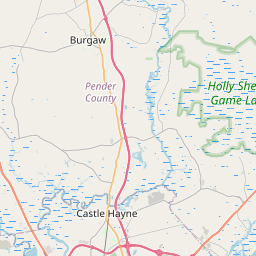
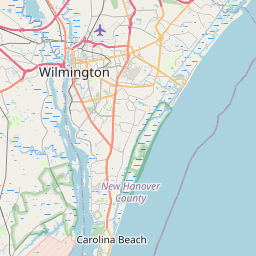
Northchase Map, Satellite view of Northchase, North Carolina
Northchase is a census-designated place (CDP) located in New Hanover County, North Carolina, USA.
Location informations of Northchase
Latitude of city of Northchase is 34.30782 and longitude of city of Northchase is -77.87749- What Country is Northchase In? Northchase is located in the United States of America.
- What State is Northchase located in? Northchase is located in North Carolina.
- What County is Northchase In? The County of Northchase is New Hanover County
Northchase, North Carolina (NC), USA Geographic Information
| Country | United States |
| Country Code | US |
| State Name | North Carolina |
| Latitude | 34.30782 |
| Longitude | -77.87749 |
| DMS Lat | 34°18'28.152" N |
| DMS Long | 77°52'38.964" W |
| DMS coordinates : | 34°18'28.152" N 77°52'38.964" W |
Current Date and Time in Northchase, North Carolina, USA
| Northchase Time Zone : America/New_York |
What day is it in Northchase right now?Monday (June 9, 2025) |
What time is it?Current local time and date at Northchase is 6/9/2025 - 9:24:46 PM |
Postcode / zip code of Northchase
Northchase is the actual or alternate city name associated with 1 ZIP Codes by the US Postal Service.
List of all postal codes in Northchase, North Carolina, United States.
28405 Zip Code
Area Codes Northchase, North Carolina, USA
Northchase, North Carolina covers 1 Area Codes
910 Area CodeOnline Map of Northchase - road map, satellite view and street view


Check out our interactive map of Northchase, North Carolina and you'll easily find your way around the Northchase major roads and highways.
Satellite Map of Northchase, NC, USA
This is online map of the address Northchase, NC, United States. You may use button to move and zoom in / out. The map information is for reference only.
New Hanover County Sheriff'S Office Heliport (2.70 Km / 1.68 Miles)
Wilmington International Airport (4.74 Km / 2.94 Miles)
210 Investors Heliport (5.89 Km / 3.66 Miles)
NHRMC-Ed North Heliport (10.08 Km / 6.26 Miles)
Brickhouse Field (13.55 Km / 8.42 Miles)
Pilots Ridge Airport (22.76 Km / 14.14 Miles)
Pettigrew Moore Aerodrome (23.78 Km / 14.78 Miles)
Stag Air Park (24.60 Km / 15.28 Miles)
Emma B Trask Middle (821 m / 0.51 Miles)
Emsley A Laney High (1.12 Km / 0.69 Miles)
Wilmington Early College High (1.66 Km / 1.03 Miles)
SEA-Tech (1.67 Km / 1.04 Miles)
Murrayville Elementary (2.64 Km / 1.64 Miles)
College Park Elementary (2.83 Km / 1.76 Miles)
Wrightsboro Elementary (4.26 Km / 2.65 Miles)
Holly Shelter Middle (4.92 Km / 3.05 Miles)
List of places near to Northchase
| Name | Distance |
|---|---|
| Blue Clay Farms | 1.62 Km / 1.01 Miles |
| Murraysville | 3.07 Km / 1.91 Miles |
| Wrightsboro | 4.55 Km / 2.83 Miles |
| Skippers Corner | 4.83 Km / 3.00 Miles |
| Kings Grant | 5.14 Km / 3.19 Miles |
| Castle Hayne | 5.71 Km / 3.55 Miles |
| Hightsville | 6.54 Km / 4.06 Miles |
| Ogden | 6.69 Km / 4.16 Miles |
| Bayshore | 8.51 Km / 5.29 Miles |
| Porters Neck | 9.95 Km / 6.18 Miles |
| Wilmington | 11.02 Km / 6.85 Miles |
| Belville | 11.81 Km / 7.34 Miles |
| Navassa | 13.29 Km / 8.26 Miles |
| Wrightsville Beach | 13.32 Km / 8.28 Miles |
| Rocky Point | 14.19 Km / 8.82 Miles |
| Leland | 16.40 Km / 10.19 Miles |
| Hampstead | 16.71 Km / 10.38 Miles |
| Silver Lake | 17.99 Km / 11.18 Miles |
| Myrtle Grove | 19.26 Km / 11.97 Miles |
| St. Helena | 23.47 Km / 14.58 Miles |
| Topsail Beach | 23.56 Km / 14.64 Miles |