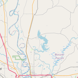
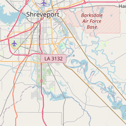
Red Chute Map, Satellite view of Red Chute, Louisiana
Red Chute is a census-designated place (CDP) located in Bossier Parish, Louisiana, USA.
Location informations of Red Chute
Latitude of city of Red Chute is 32.55598 and longitude of city of Red Chute is -93.61323- What Country is Red Chute In? Red Chute is located in the United States of America.
- What State is Red Chute located in? Red Chute is located in Louisiana.
- What County is Red Chute In? The County of Red Chute is Bossier Parish
Red Chute, Louisiana (LA), USA Geographic Information
| Country | United States |
| Country Code | US |
| State Name | Louisiana |
| Latitude | 32.55598 |
| Longitude | -93.61323 |
| DMS Lat | 32°33'21.528" N |
| DMS Long | 93°36'47.628" W |
| DMS coordinates : | 32°33'21.528" N 93°36'47.628" W |
Current Date and Time in Red Chute, Louisiana, USA
| Red Chute Time Zone : America/Chicago |
What day is it in Red Chute right now?Thursday (May 29, 2025) |
What time is it?Current local time and date at Red Chute is 5/29/2025 - 2:27:02 PM |
Postcode / zip code of Red Chute
Red Chute is the actual or alternate city name associated with 1 ZIP Codes by the US Postal Service.
List of all postal codes in Red Chute, Louisiana, United States.
71037 Zip Code
Online Map of Red Chute - road map, satellite view and street view


Check out our interactive map of Red Chute, Louisiana and you'll easily find your way around the Red Chute major roads and highways.
Satellite Map of Red Chute, LA, USA
This is online map of the address Red Chute, LA, United States. You may use button to move and zoom in / out. The map information is for reference only.
Touchstone Ridge Ultralightport (1.83 Km / 1.14 Miles)
La State Police Troop G Heliport (5.19 Km / 3.22 Miles)
Barksdale Air Force Base (7.60 Km / 4.72 Miles)
Pioneer Field Flight Park Ultralightport (9.13 Km / 5.67 Miles)
Sonlef Air Strip (9.20 Km / 5.72 Miles)
L J Earnest Airport (10.77 Km / 6.69 Miles)
Texaco Airport (11.93 Km / 7.42 Miles)
Shreveport Downtown Airport (12.48 Km / 7.75 Miles)
Horseshoe Heliport (12.51 Km / 7.77 Miles)
Metro Aviation Heliport (13.93 Km / 8.65 Miles)
Ochsner LSU Health Shreveport Saint Mary Medical Center Heliport (14.55 Km / 9.04 Miles)
Lsu Health Science Center Heliport (16.29 Km / 10.12 Miles)
Willis-Knighton Pierremont Heliport (16.37 Km / 10.17 Miles)
Willis-Knighton Medical Center Heliport (17.27 Km / 10.73 Miles)
Christus Highland Heliport (17.59 Km / 10.93 Miles)
Schumpert Clinic South Heliport (17.80 Km / 11.06 Miles)
Stovall Airport (19.84 Km / 12.33 Miles)
Juneau Ultralightport Airpark (20.52 Km / 12.75 Miles)
Lucien Field (21.98 Km / 13.66 Miles)
Shreveport Greenwood Airport (22.06 Km / 13.71 Miles)
Stockwell Place Elementary School (3.07 Km / 1.91 Miles)
T.L. Rodes Elementary School (4.23 Km / 2.63 Miles)
Platt Elementary School (4.29 Km / 2.66 Miles)
Bossier Parish Community College (3.64 Km / 2.26 Miles)
List of places near to Red Chute
| Name | Distance |
|---|---|
| Eastwood | 4.32 Km / 2.68 Miles |
| Haughton | 10.56 Km / 6.56 Miles |
| Bossier City | 12.00 Km / 7.46 Miles |
| Doyline | 19.09 Km / 11.86 Miles |
| Shreveport | 19.49 Km / 12.11 Miles |
| Benton | 19.59 Km / 12.17 Miles |
| Lakeview | 20.58 Km / 12.79 Miles |